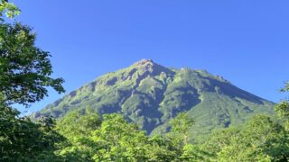
湯ノ丸山は長野県と群馬県の境に位置する標高2101メートル(南峰)の山です。南峰と北峰の2つの頂があり、どちらからも素晴らしい展望を望むことができます。初夏から秋にかけた登山シーズンは初心者向けの山、積雪期の冬は雪山入門の山として知られています。
地蔵峠から往復で冬の湯ノ丸山に日帰り登山した様子を記していきます。
↓ YouTubeにも動画を上げています。動画も見てもらえると雰囲気がイメージしやすいので、よかったらどうぞ。
ルート概要
登り
地蔵峠からキャンプ場を経由して湯ノ丸山(南峰・北峰)へ
下り
湯ノ丸山(南峰・北峰)からキャンプ場を経由して地蔵峠へ
【日 程】
2023年1月21日(土曜日)
冬の湯ノ丸山の山行記録

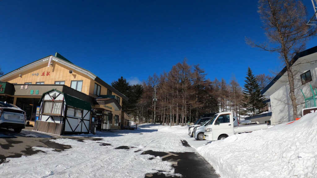
11時30分のスキー場前にある地蔵峠駐車場。この場所ですでに標高1700メートル越えです。

多くのスキー客で賑わっていました。

駐車場のトイレ。

湯ノ丸山へはスキー場の斜面を登るルートとキャンプ場を通るルートの2パターンがあります。
今回はキャンプ場を通るルートで行きます。

烏帽子岳登山口の案内標識。今回は登りませんが、烏帽子岳は湯ノ丸山の隣の山です。
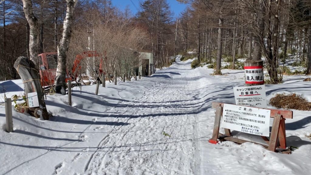
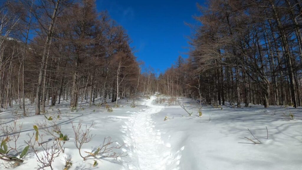
湯の丸キャンプ場に続く林道。
平坦な道のためサクサク進めます。

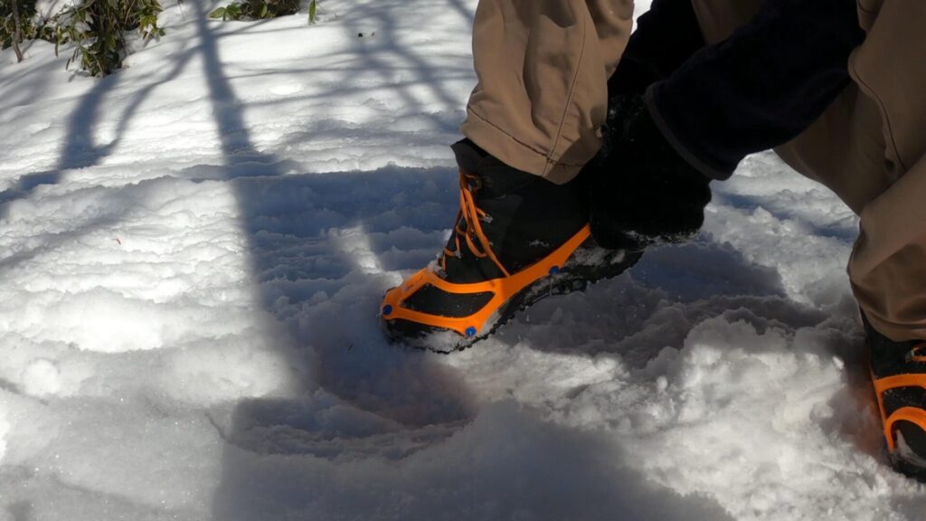
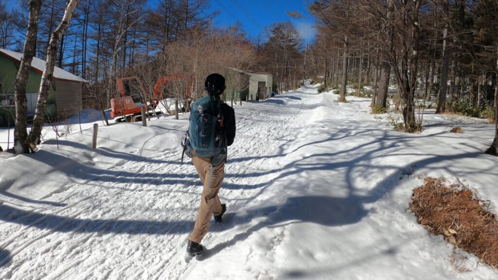
スタートして間もなく、チェーンスパイクを装備。
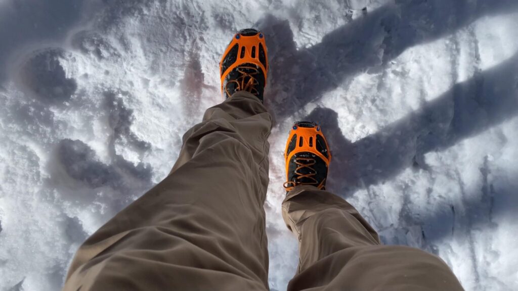
まだ平坦で締まった雪道だから必要ないかと思いましたが、装備することで歩きやすくなりました。
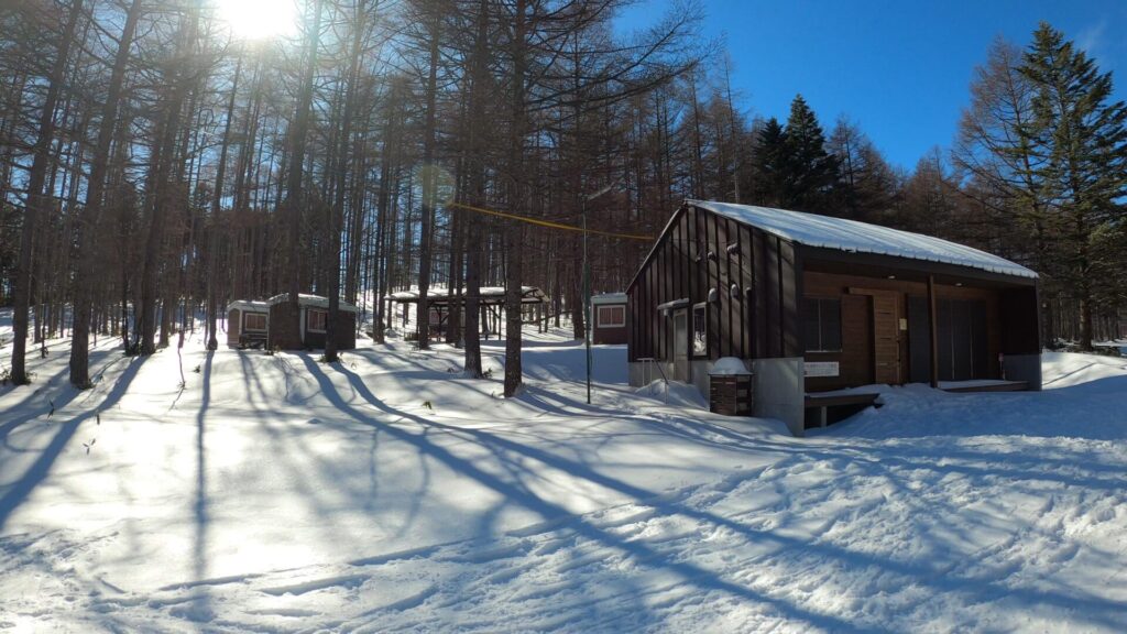
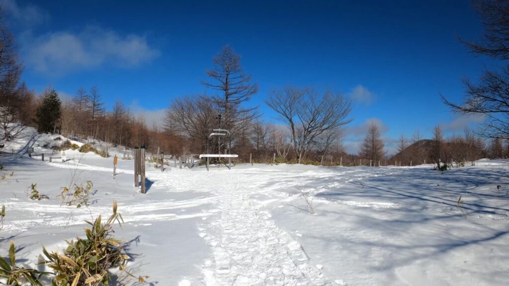
湯の丸キャンプ場の脇を通過です。

ここまではまだ平坦な道のり。

晴れていますが、現時点の気温はマイナス8℃くらい。

ちょっと風が吹くと露出した顔の肌が痛いです。バラクラバと呼ばれる目の部分以外を覆う被り物を持って来れば良かったと後悔しました。
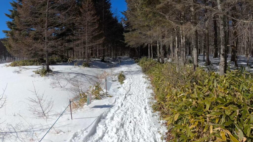
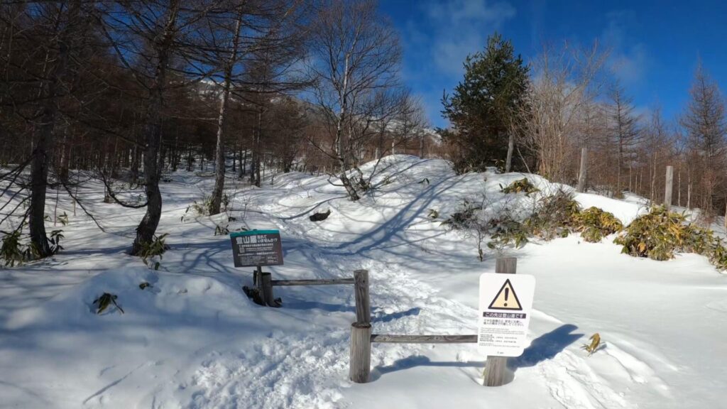
湯の丸キャンプ場を過ぎてしばらく進むと林の中へ。
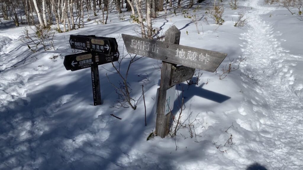
中分岐に到着。

右へ進みます。左は烏帽子岳の方面。
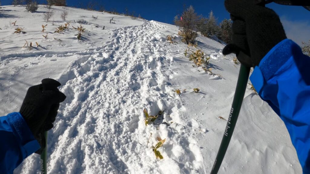
ありがたいことに、終始 先行者の踏み跡で道ができていました。
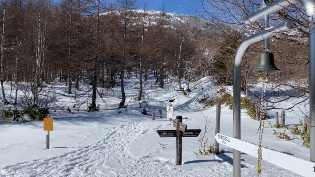
正面に現れる分岐点。湯の丸スキー場の斜面を登るルートとここで合流です。
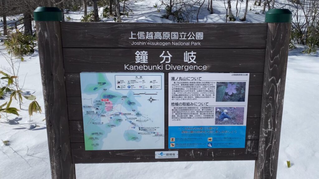
鐘分岐と呼ばれ、その名の通り鐘があります。

せっかくなので鳴らしておきました。

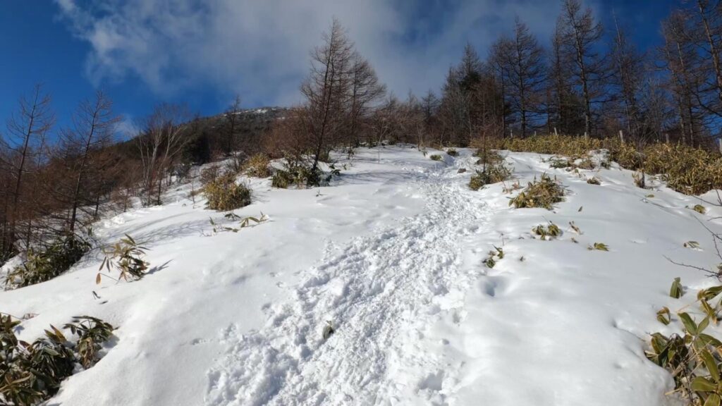
鐘分岐を過ぎると急な登りの始まりです。
チェーンスパイクで余裕で登れると思っていました。しかし、勾配がキツくなると滑りやすくなるので、アイゼンを装備した方が安心です。
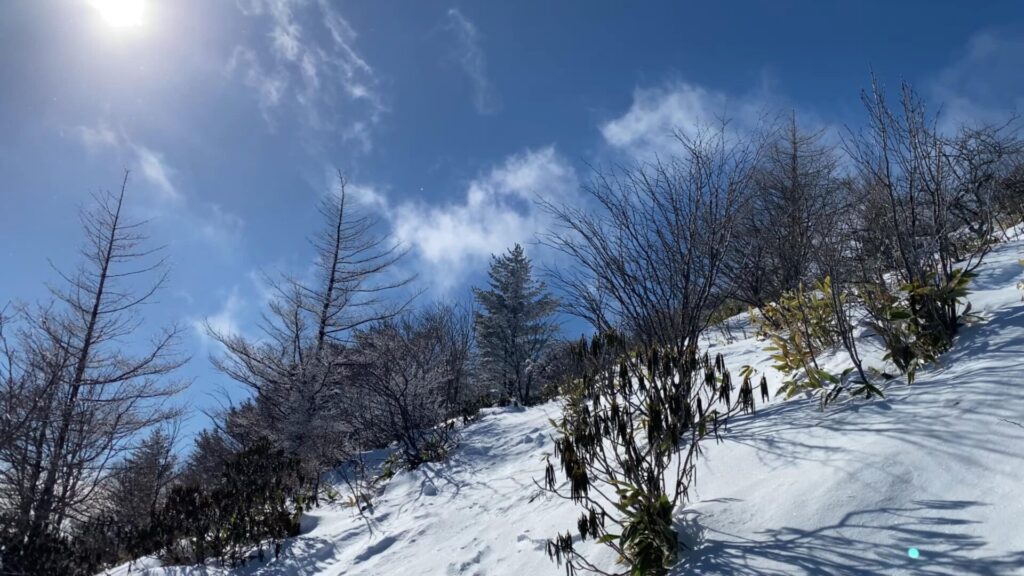
雲の流れが速いので、山頂の展望が気になるところです。タイミング良く晴れていればよいのですが。
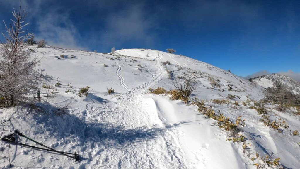
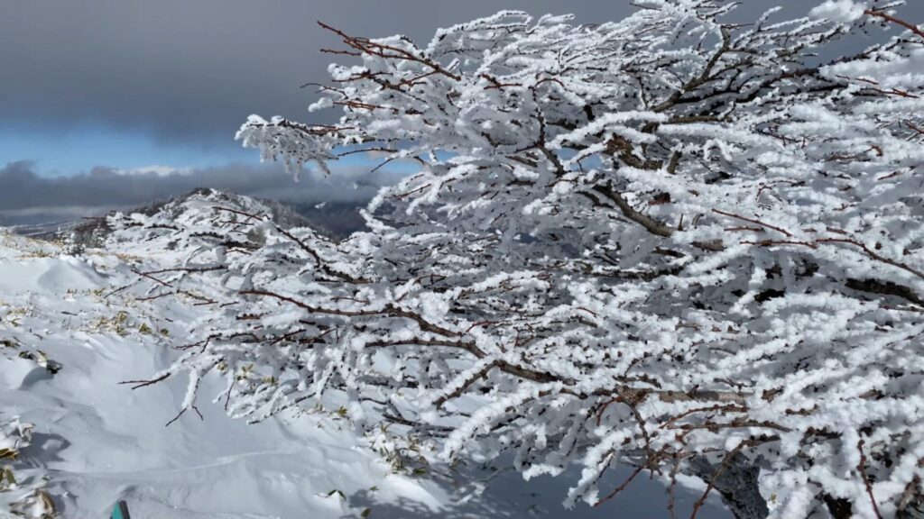
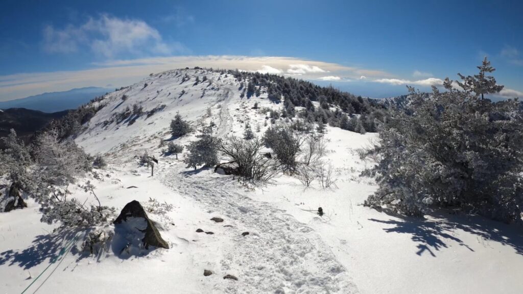
山頂に近づくにつれて少なくなっていく樹木。
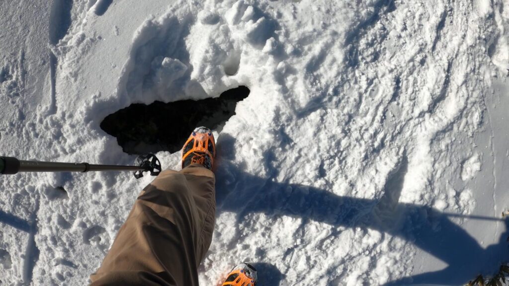
途中、踏み抜き注意の所がありました。

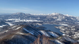
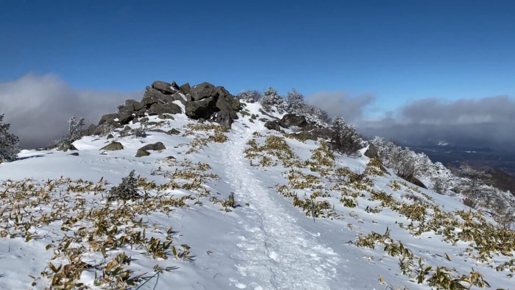
湯ノ丸山(南峰)に到着です。ここは平坦な山頂が特徴。

湯ノ丸山の山頂標識。

山頂部をのぞかせる浅間山。

浅間山を拡大。

はるか遠くには富士山。

富士山を拡大。

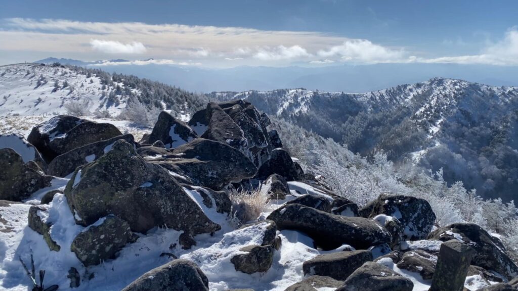
雲が流れてきているので360度の展望とまではいきませんが、良い景色でした。

続いて湯ノ丸山(北峰)へ行きます。

湯ノ丸山(南峰)から片道10分くらいの道のりです。
正面に見える湯ノ丸山(北峰)は積み重なった岩が特徴。
湯ノ丸山(北峰)に到着。
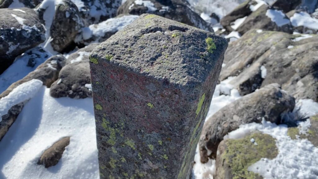
山頂標識を探したのですが、三角点しか見つかりませんでした。

湯ノ丸山(北峰)からの景色も素晴らしいです。
来た道を引き返して下山しました。
最後まで読んでいただきありがとうございました。