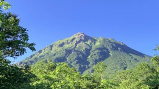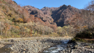
北信五岳および日本二百名山のひとつである飯縄山は、長野市の北部にある標高1917メートルの山です。古くから山岳信仰の山として知られ、現在では一年を通じて多くの登山者が訪れています。
一ノ鳥居から往復で雨の飯縄山に日帰り登山した様子を記していきます。
↓ YouTubeにも動画を上げています。動画も見てもらえると雰囲気がイメージしやすいので、よかったらどうぞ。
ルート概要
【コースタイム目安】
登り 2時間25分
- 一ノ鳥居苑地 登山者駐車場から鳥居のある南登山口へ
- 南登山口から飯縄山へ
下り 1時間50分
- 飯縄山から南登山口へ
- 南登山口から一ノ鳥居苑地 登山者駐車場へ
【日 程】
2022年8月28日(日曜日)
雨の飯縄山の山行記録
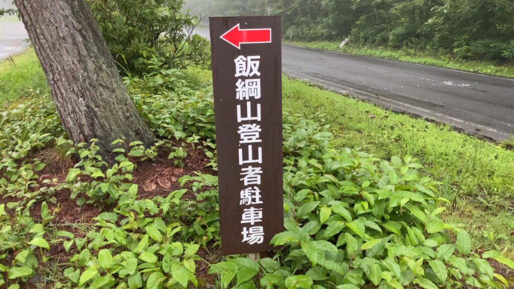

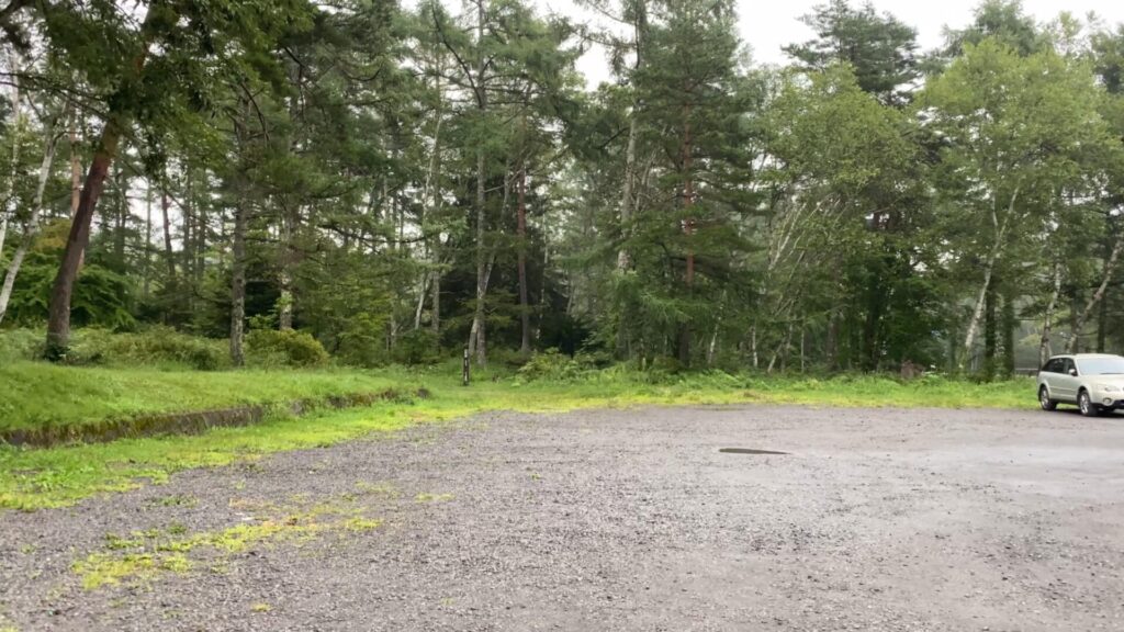
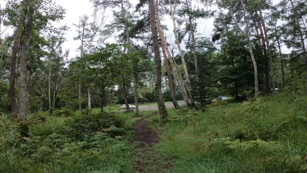
朝6時25分の一ノ鳥居苑地 登山者駐車場。夏山シーズンの日曜日ですが、雨予報のため駐車場はガラガラでした。
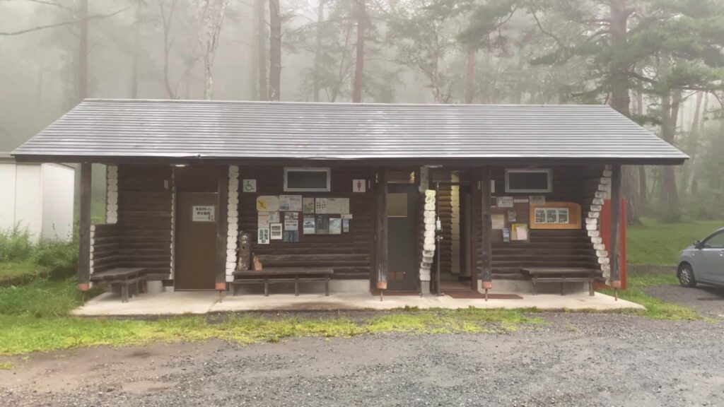
駐車場にあるトイレには飯縄山登山のパンフレットが置いてありました。登山ルート全体のイメージと要所を把握するのに役立ちます。

まずは駐車場の奥に続く道を通り、鳥居のある南登山口へ。

駐車場の奥に続く道は平坦です。

舗装された道に出て別荘地の中を進む。
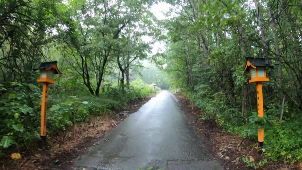
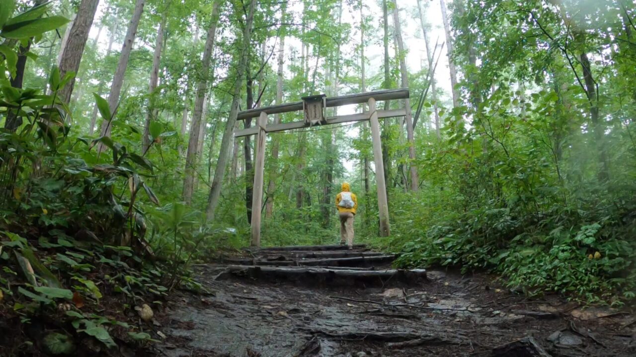
灯篭が現れ、その先に鳥居があります。
スタートしてから、この鳥居の手前まで歩いて20分ほど。ここにトイレはありません。
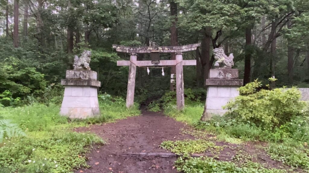
左右に狛犬。
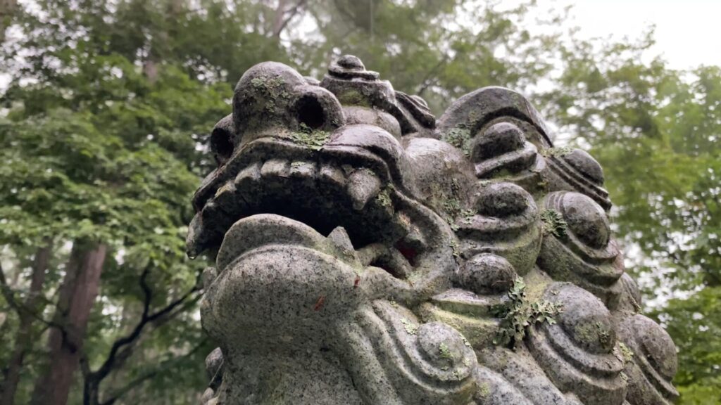
阿。

吽。

ザーザーと雨が降っています。晴れとは言わないまでも、止んでくれれば良いのですが・・・。

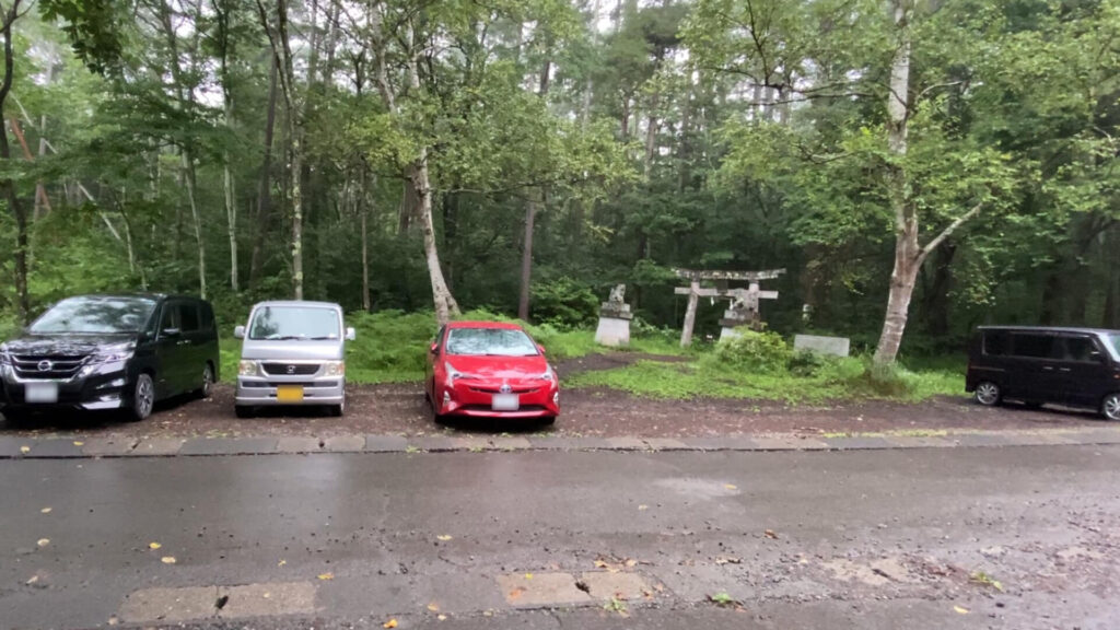
狛犬のある鳥居から少し進むと、再び鳥居が現れます。
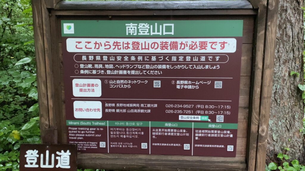
南登山口の入口。

南登山口の木でできた鳥居をくぐれば、本格的な登山道の始まりです。

登山道を進むと直ぐに現れる旧奥宮一の鳥居跡地。
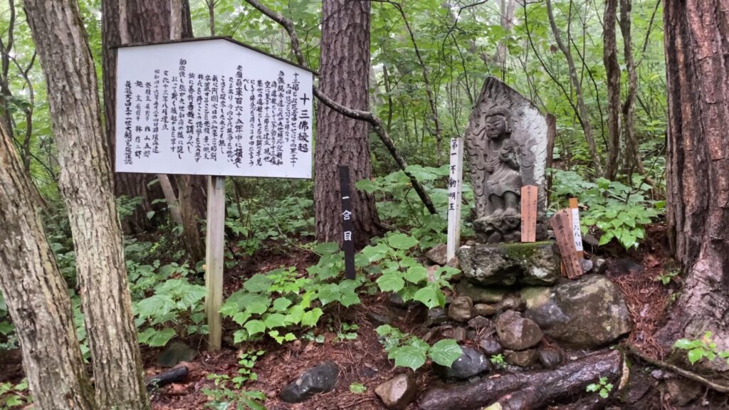
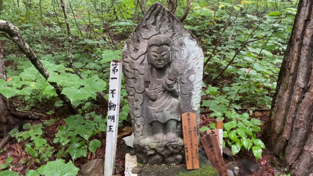
第一不動明王の石仏。南登山道では番号を振られた十三体の石仏が鎮座しています。西登山道の合流地点の手前の第十三虚空蔵菩薩まで順番に数えながら登るのも良いです。
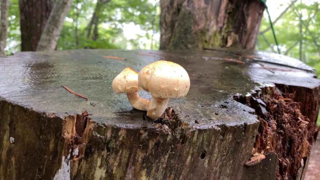
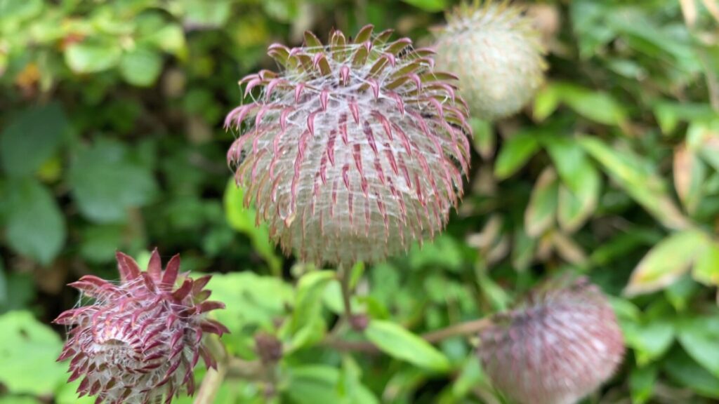
すっきりしない天候が続いたためか、切り株からキノコが生えていました。


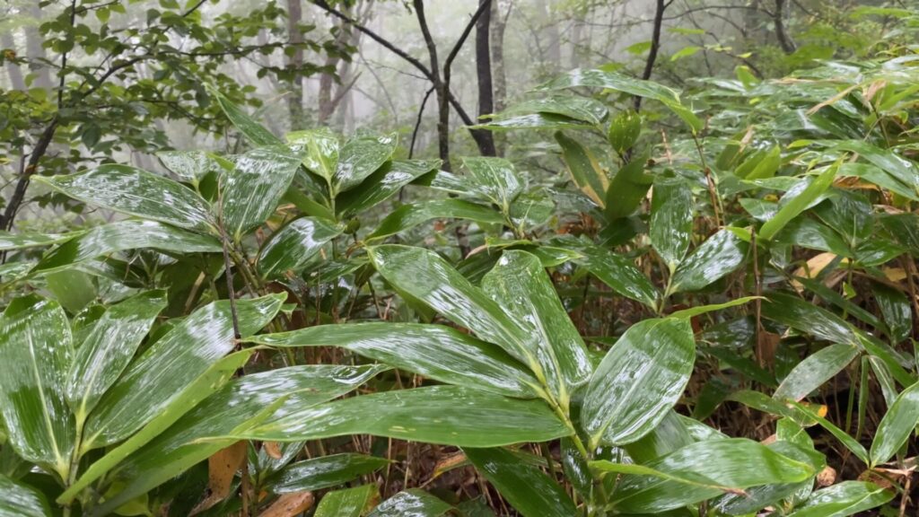
濡れた岩や木の根っこは、特に滑りやすいので注意しながら進みます。
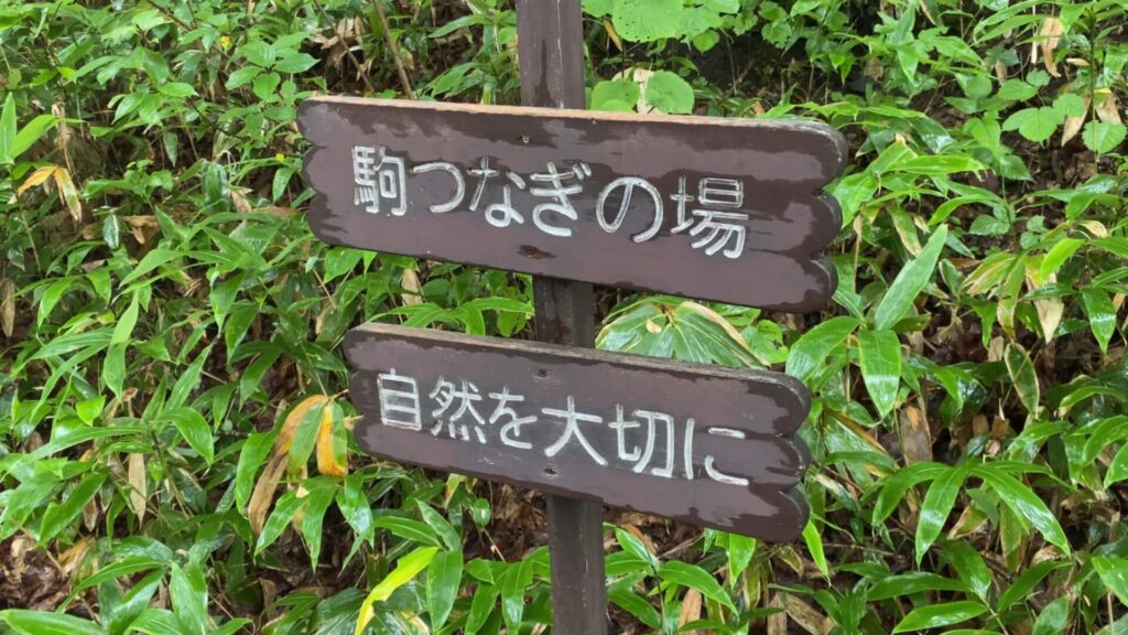
駒つなぎ場に到着。
駒つなぎ場は広場のようになっています。
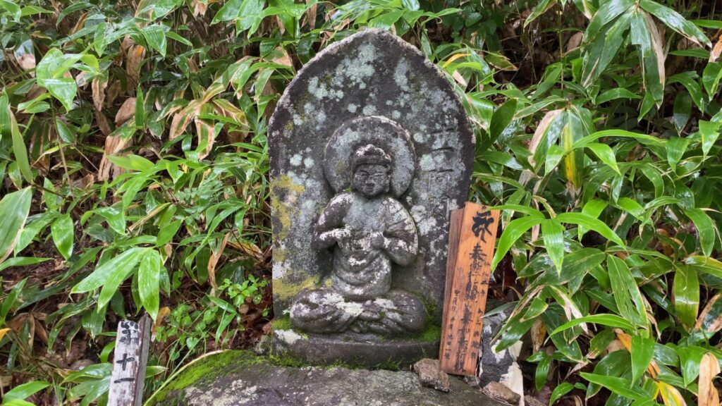
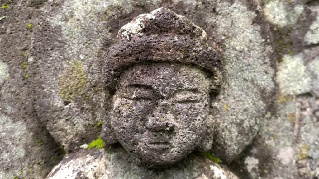
駒つなぎ場に鎮座する第十一阿閦如来。
雨は少し収まってきたようです。
駒つなぎ場の右側にある道を進む。

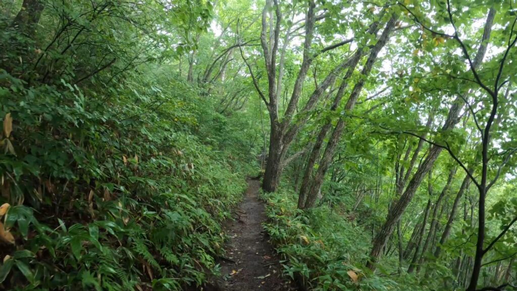
平坦な道を少し進むと勾配はキツくなり、つづら折りに道を進んで行きます。


途中、水場が二つ。一つ目は特に名前の表示はありません。

二つ目は富士見の水場と表示されています。


六合目にある天狗の硯岩。

ちょうど窪んだ所に水が溜まっているので、硯っぽいと言われればそうかもしれません。

十三石仏の最後。第十三虚空蔵菩薩。

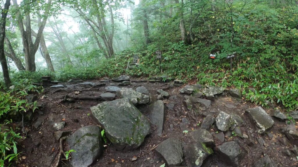
西登山道との合流地点。
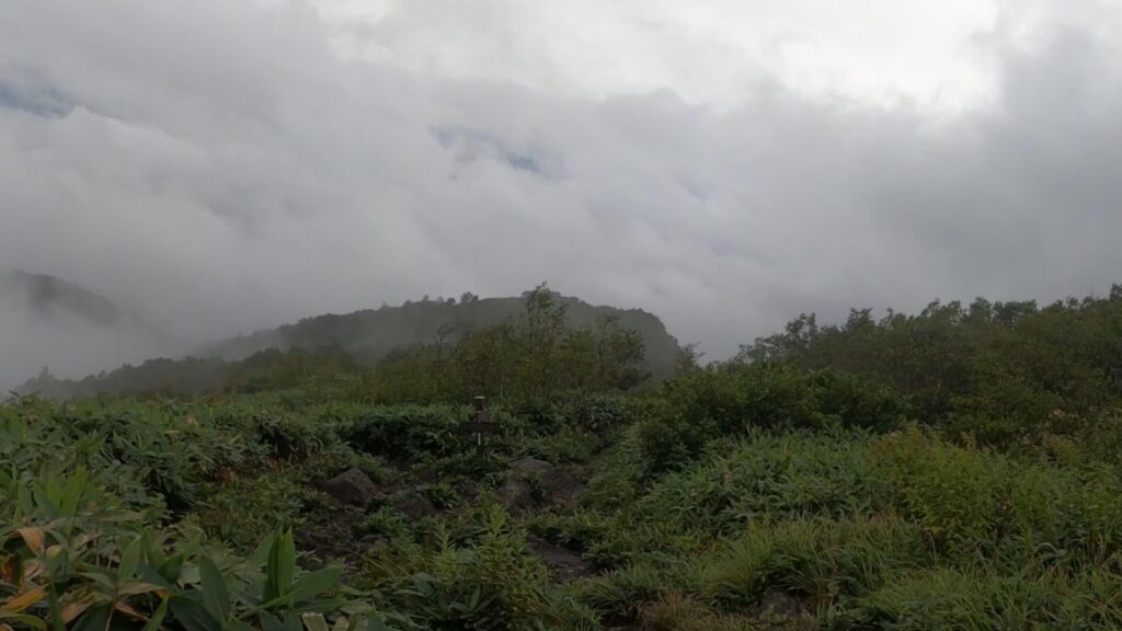
西登山道との合流地点を過ぎると展望が開けてくるのですが、曇っています。
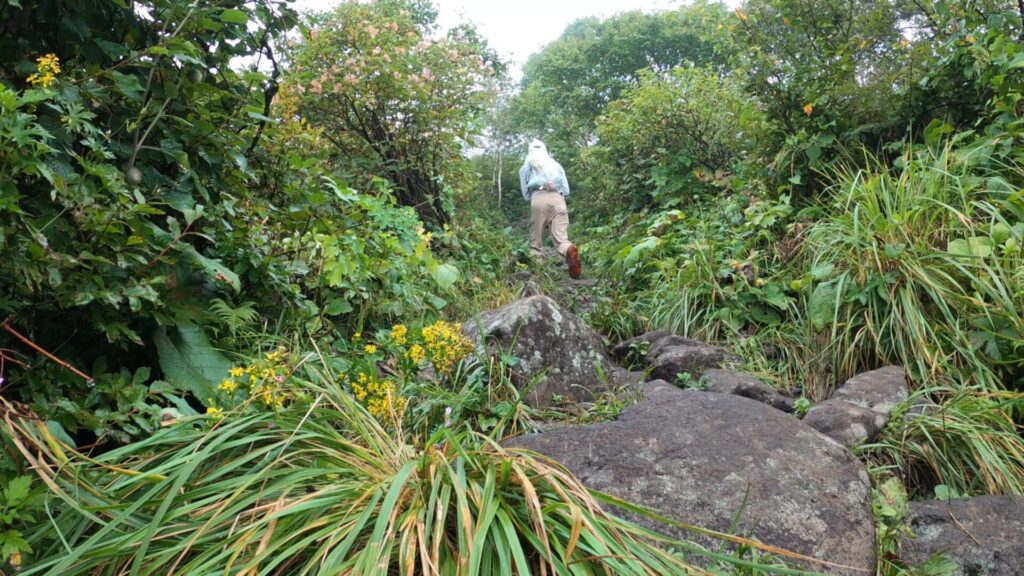
足元に大きめの岩がある斜面をどんどん進む。

飯縄山の南峰の手前にある鳥居。
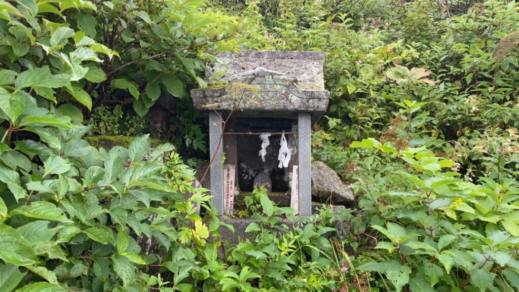
鳥居の奥には祠があります。
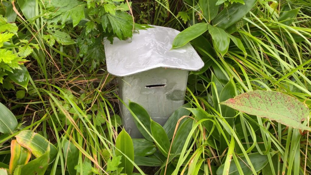
祠の下側には賽銭入れ。

冬の積雪期には、この様に鳥居が埋もれる姿を見ることもあります。

九合目である飯縄山の南峰。

広場状になっていて、ここまでくれば山頂まであと少しです。

南峰を見守る石仏。

南峰には飯縄神社があるので寄っていきます。

飯縄神社の入口。
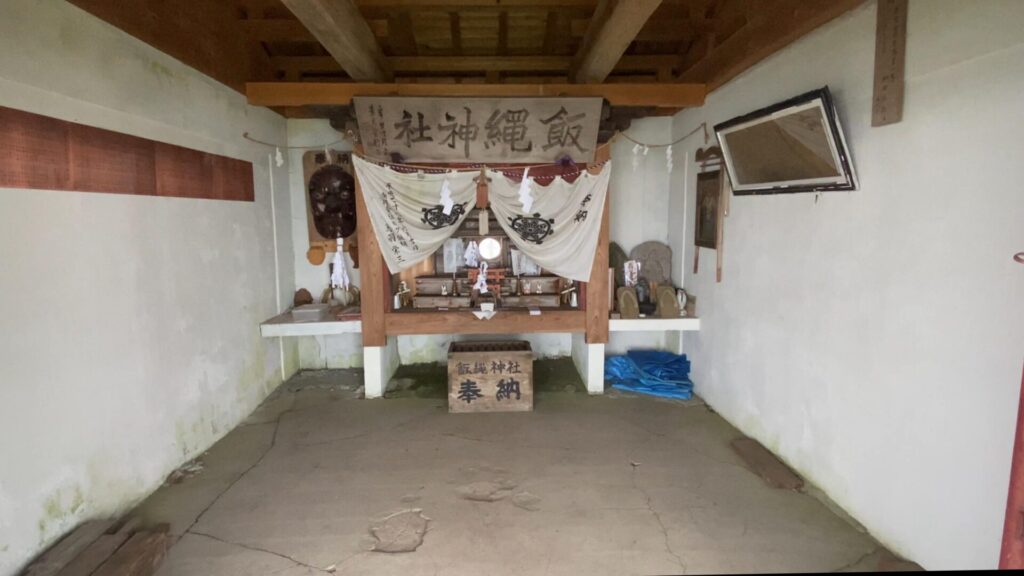
中はこんな感じです。
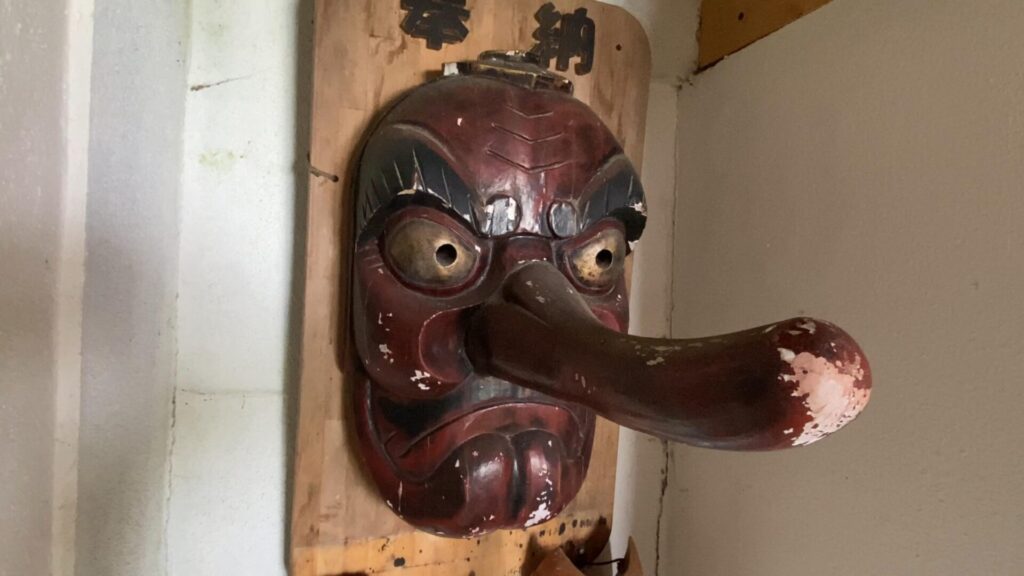
大きな天狗のお面が印象的でした。

南峰から少し進んだ先に携帯トイレブースがあります。


ぬかるんでいますが、なだらかな稜線を歩いて山頂へ。

がっしりとした飯縄山の山頂標識が見えてきました。

飯縄山の山頂。

方位盤。

山頂の端にある石仏。
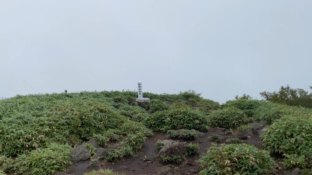
広い山頂から360°抜群の展望が望めるのですが、見事に真っ白でした。

雲は晴れそうにないので早々に下山。下りは特に滑りやすいので靴ヒモはキツめに結び直しました。
一ノ鳥居苑地 登山者駐車場に戻って登山終了です。
最後まで読んでいただきありがとうございました。