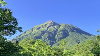
長野県にある鳥甲山(とりかぶとやま)は、秘境秋山郷の奥深くに位置する山です。細い尾根や岩場などの危険個所が多いので、初心者には不向きな険しい山だと言えます。日本二百名山のひとつでもあり、標高は2038メートルです。
ムジナ平登山口から鳥甲山へ周回で日帰り登山した様子を記していきます。鳥甲山からは屋敷登山口まで下山しました。
↓ YouTubeにも動画を上げています。動画も見てもらえると雰囲気がイメージしやすいので、よかったらどうぞ。
ルート概要
【コースタイム目安】
登り 4時間10分
- ムジナ平登山口から鳥甲山へ
下り 4時間25分
- 鳥甲山から屋敷登山口へ
- 屋敷登山口から林道を進んでムジナ平登山口へ(林道歩きは1時間10分ほど)
【日 程】
2022年10月9日(日曜日)
鳥甲山の山行記録
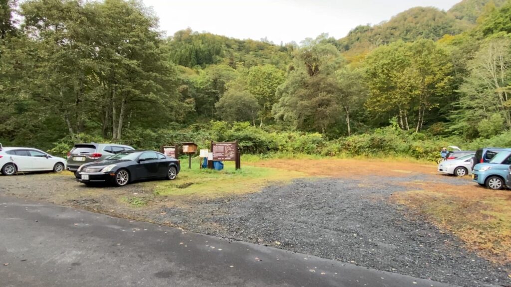
朝6時55分のムジナ平にある登山口。トイレはありません。

ムジナ平登山口の標識。
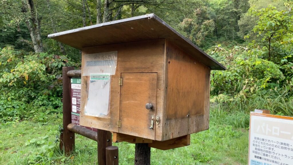
登山届の投函箱。

登山口はムジナ平の駐車場の奥にあります。
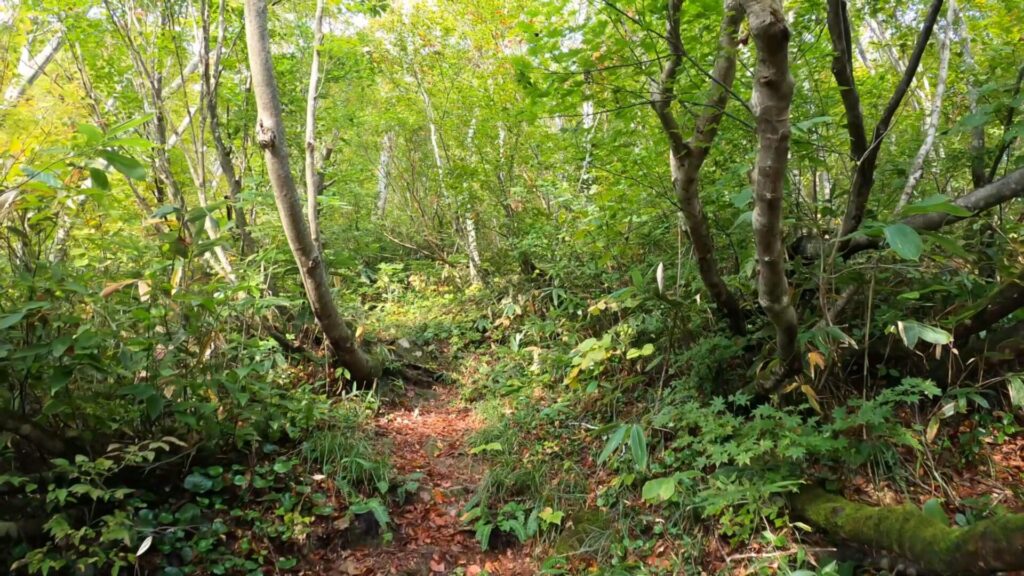
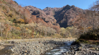
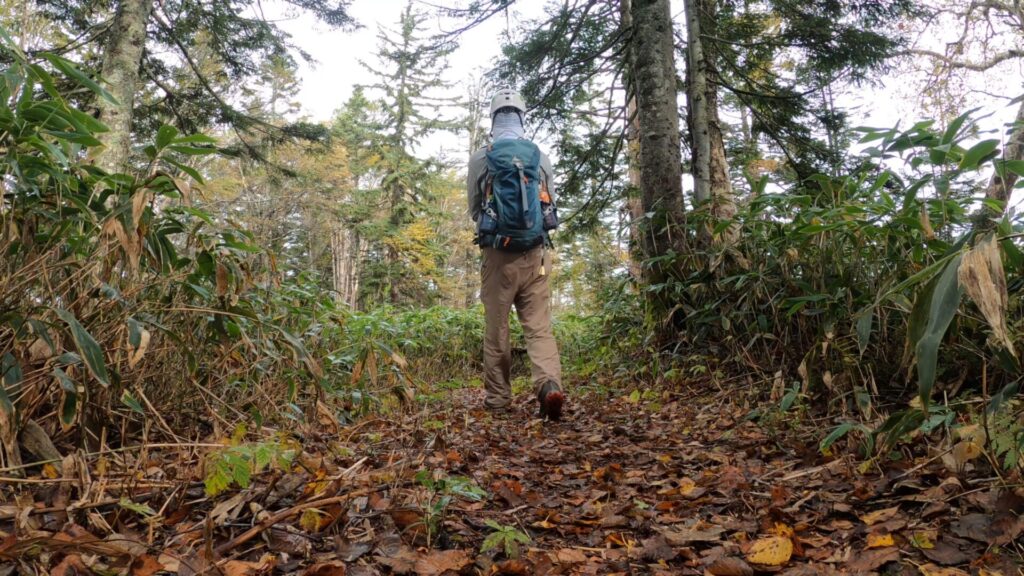
登り始めはそれなりに勾配のある樹林帯歩き。
尾根に出ると、なかなか険しい道のりになりそうです。

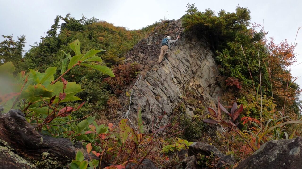
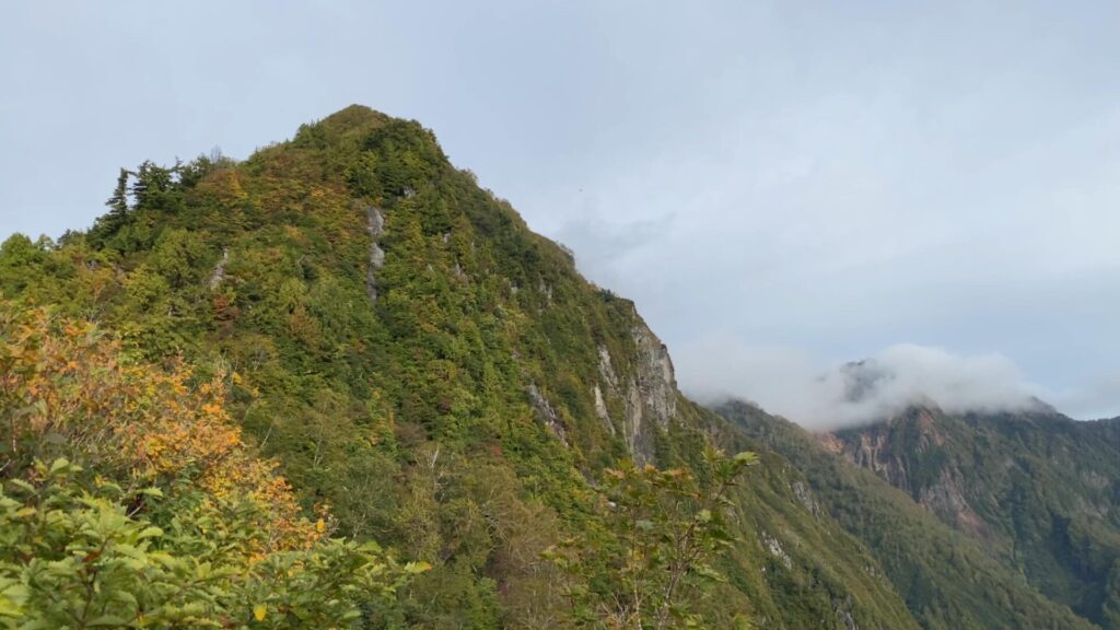
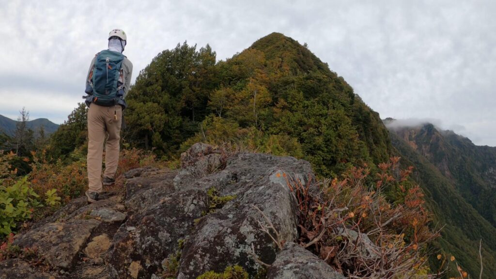
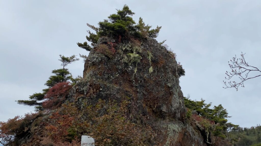
細い尾根を進んだ先に万仏岩が姿を現します。

万仏岩。クサリを補助として慎重に進む。

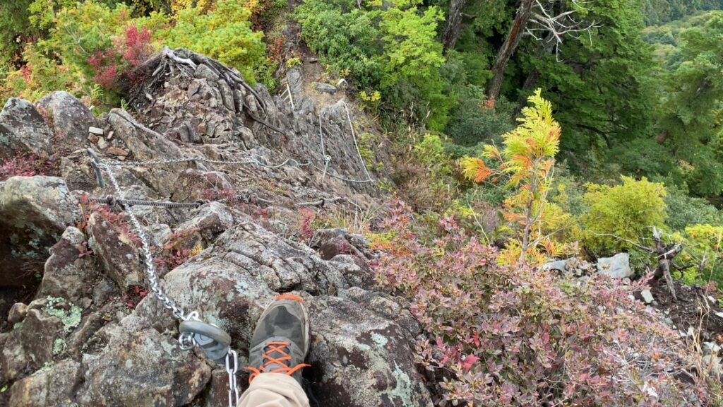
写真では分かりにくいですが、万仏岩を登り切って下を見ると結構な高度感です。

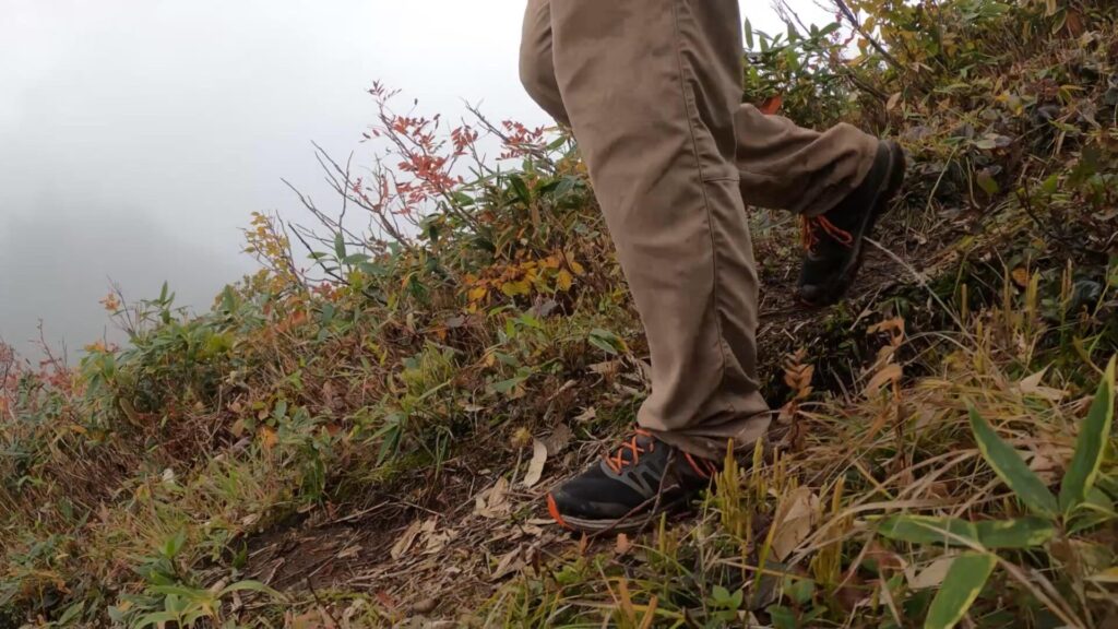
細目の道が多いので一歩一歩を慎重に。

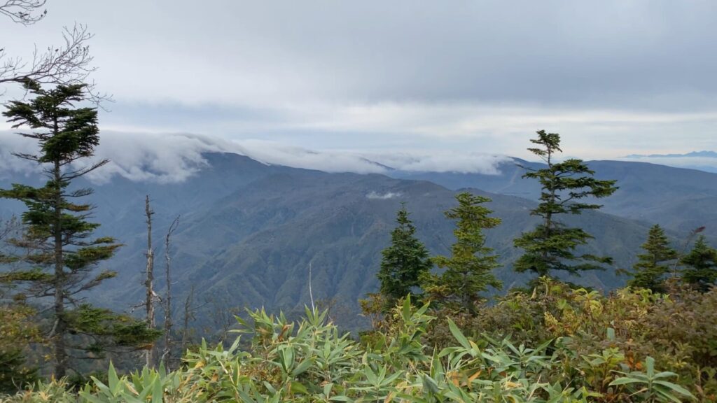
すっかりと秋山の景色です。


後ろを振り返ると通ってきた道が見えます。

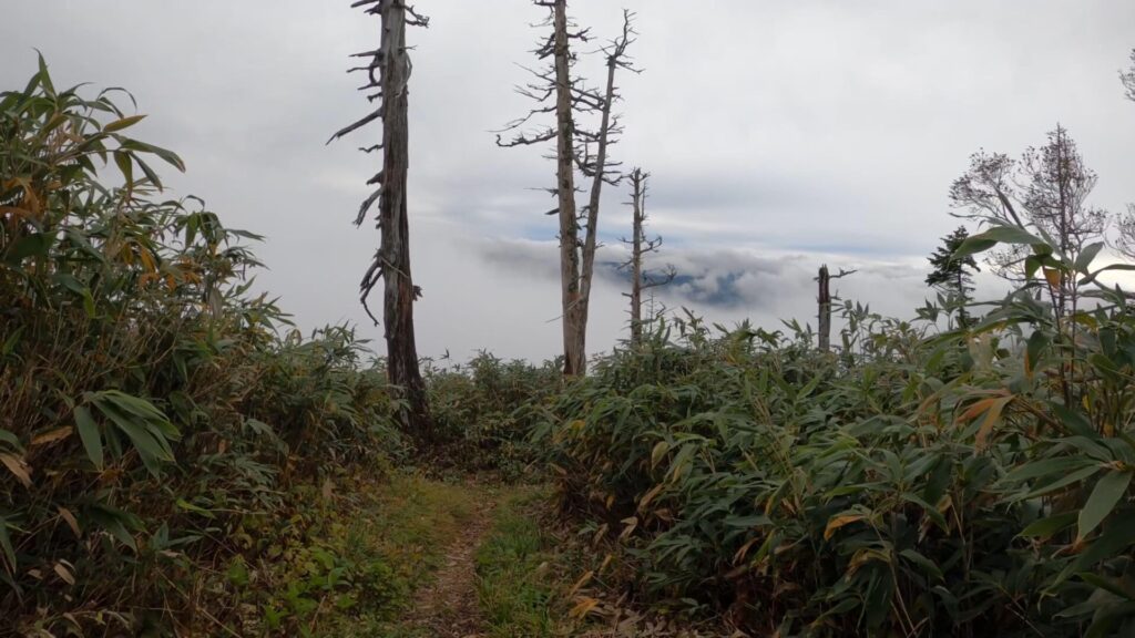
細い尾根道が終わると、背丈の高い笹ヤブの道。

白クラの頭に到着。ここには特に展望を含めて何もありません。

どこかの登山クラブが作成したと思われる白クラの頭の標識。かなり年季が入っており、折れた木の上へ差し込むように置いてあります。

白クラの頭を過ぎた辺りの道は、前日の雨により結構ぬかるでいました。
カミソリ岩に到着。ここも鳥甲山登山の難所のひとつです。
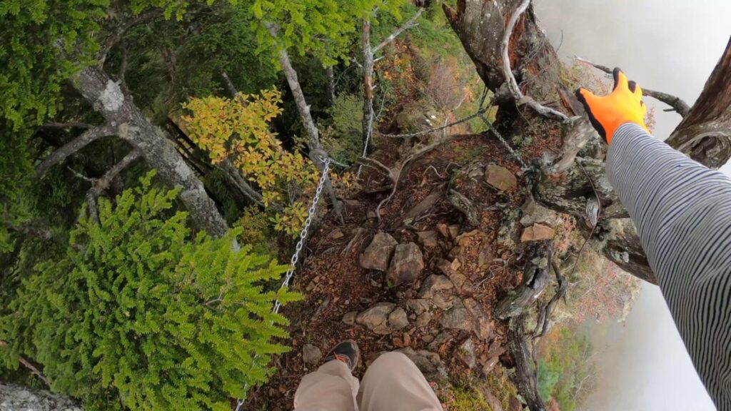
足元が危うい道を滑落しないように気を付けながら進みます。

大きな岩の下側を沿うように進む。

見上げると圧倒されるほどの大岩です。
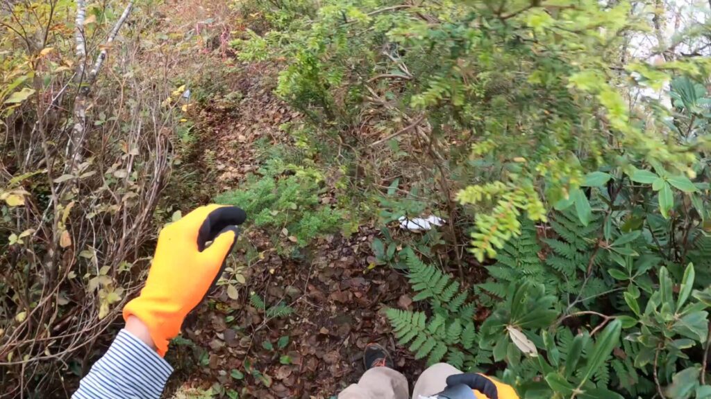
生い茂る草木で登山道が分かりにくい所もあります。

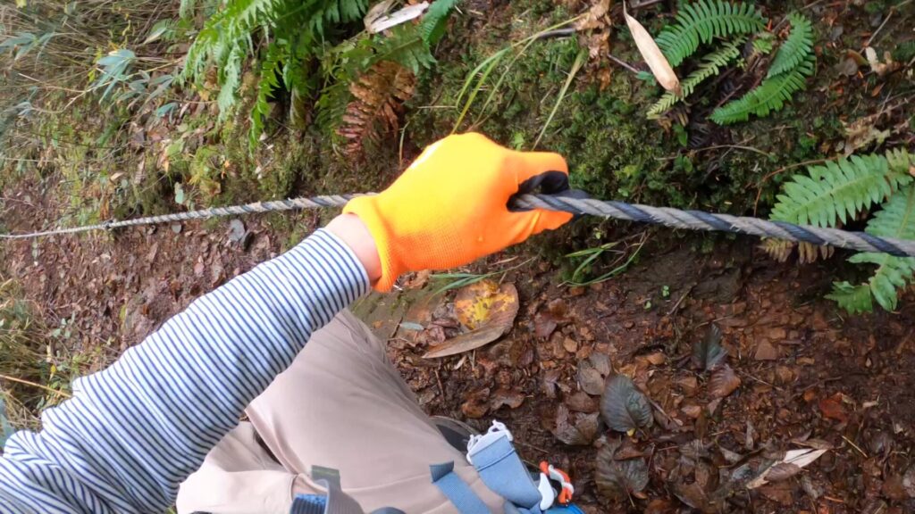
カミソリ岩を過ぎると急な下り道。場所によってはロープを補助に進みます。
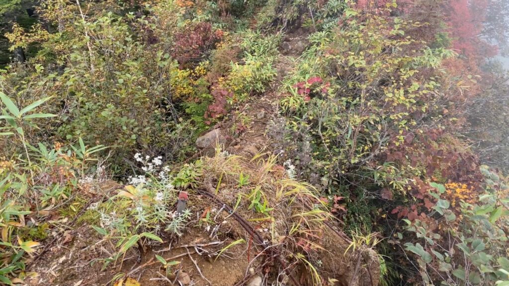
崩壊を防止するためか、ワイヤーで補強されている尾根も途中で通りました。
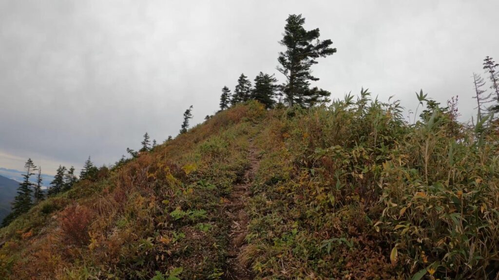
屋敷方面との分岐を左に進み、少し進んだ先が鳥甲山の山頂。

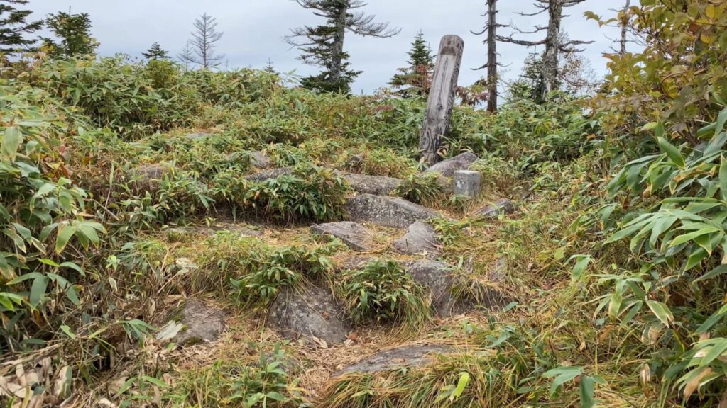
鳥甲山の山頂。
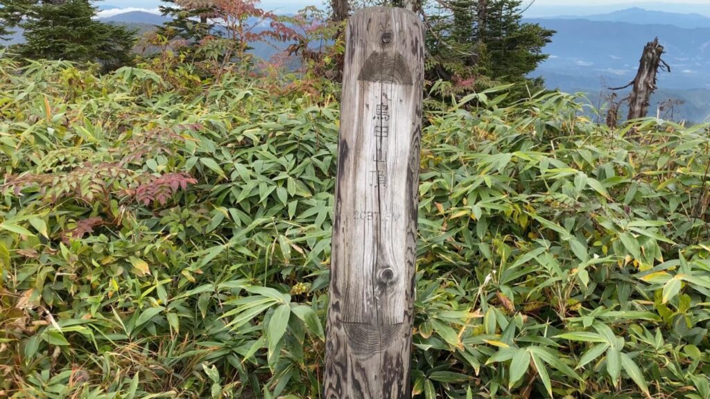
文字がかすれている木製の山頂標識。
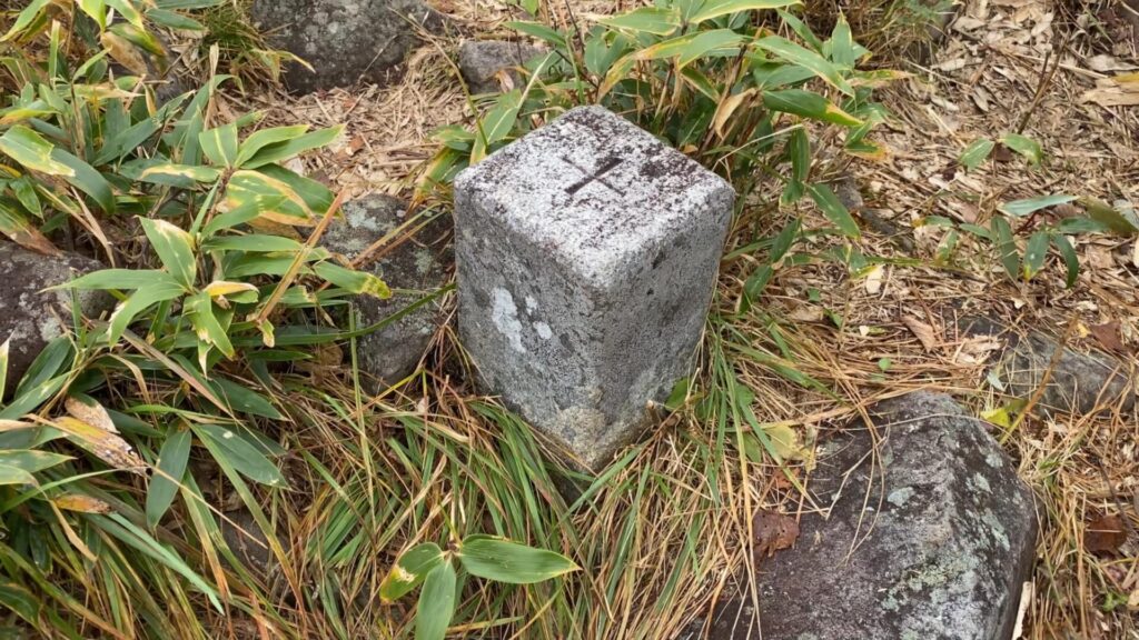
山頂標識の脇にある三角点。

山頂の周りには木がそこそこあるので展望はイマイチです。

下りはいったん分岐まで戻り、屋敷方面へ下山します。
分岐を左へ。右は登りに通ったムジナ平へ続く道です。
少し霧がかってきました。

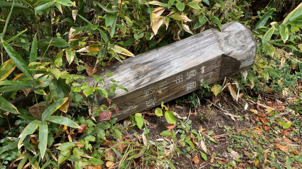
サビついた標識。恐らく赤クラの頭と呼ばれるビークへの案内標識であったと考えられます。

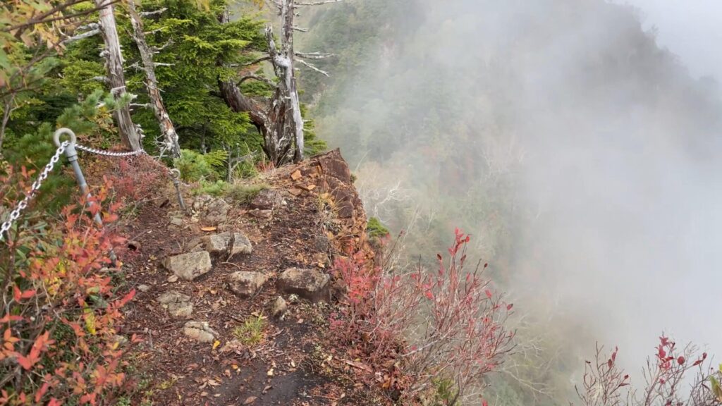
尾根上で秋山郷側は、崖になっている所もあるので注意。

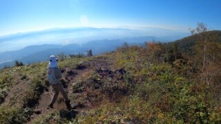
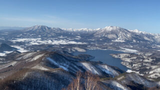
秋山郷方面の景色。

下り道の尾根をどんどん進んでいきます。
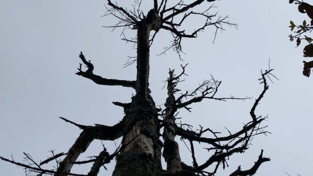
枯れた木。
屋敷山の手前にある案内標識が倒れています。ここから特に急な樹林帯の下り道です。

膝への負荷が大きいので一歩一歩慎重に下ります。

標高が下がってくると、まだ緑色の葉っぱの木が多い印象。
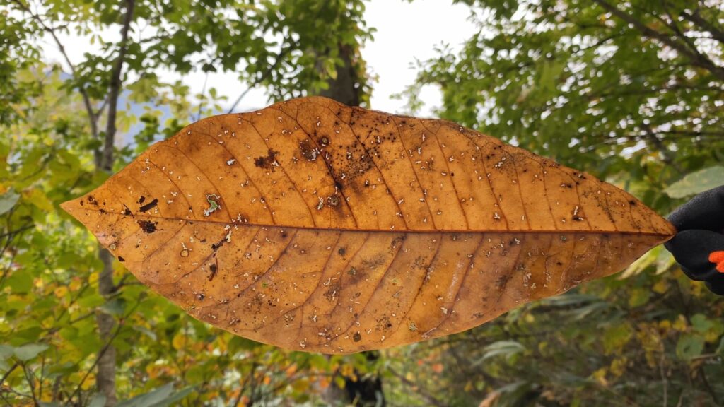
同じ種類の木でも、すでに落葉しているものもありました。

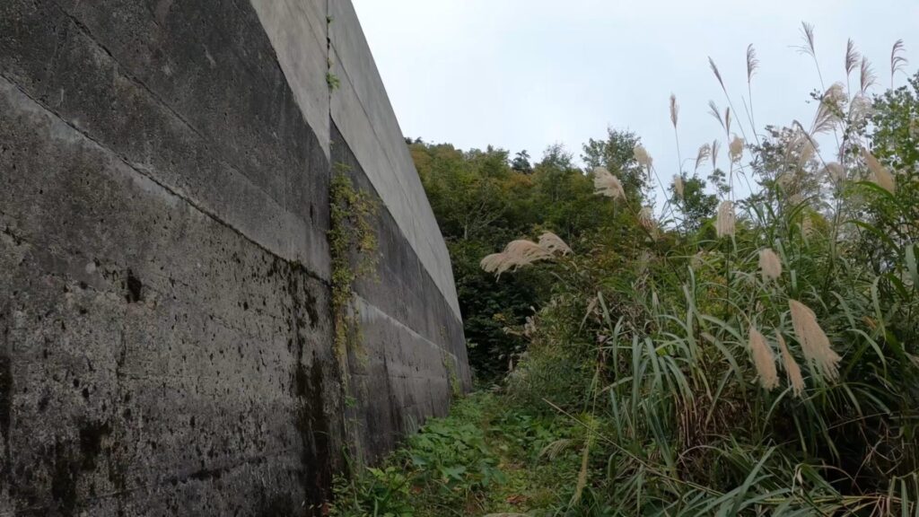
正面に現れる大きな灰色の物体。

これは雪崩防止の壁です。

壁の脇を通過します。
ここまで来れば屋敷登山口まであと少しという気分です。
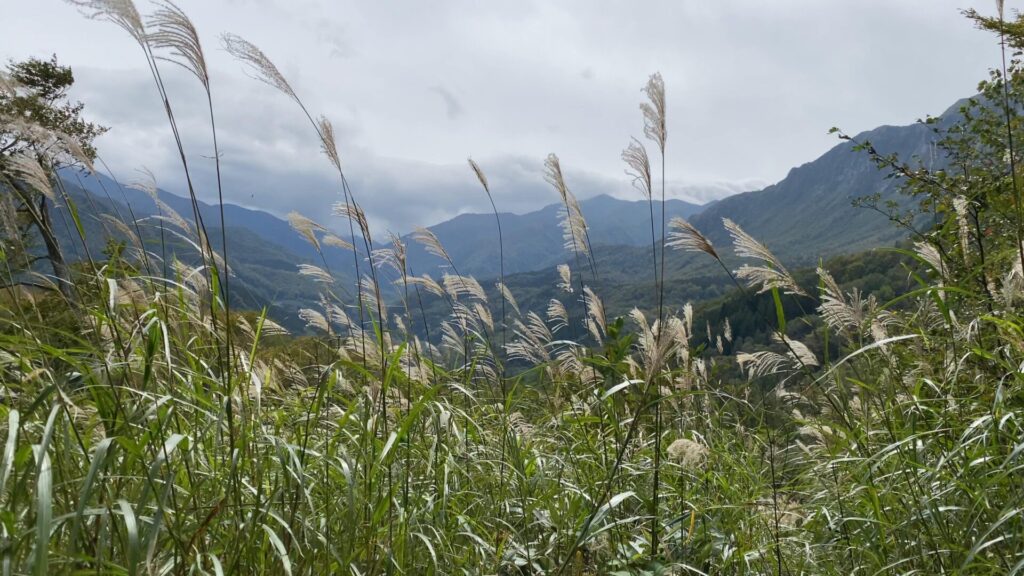
風に揺れるススキ。

屋敷登山口に到着です。

屋敷登山口の標識。

道路脇の目立たない所に登山口があります。車で走っていると、うっかり見落としてしまいそうな感じです。

登山届の投函箱。
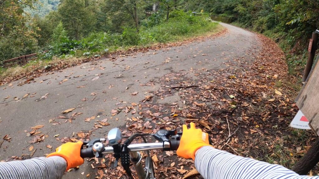
屋敷登山口からムジナ平へ戻る訳ですが、5~6kmほどの車道を進むことになります。今回は楽をするために、あらかじめ屋敷登山口に置いておいた折りたたみ自転車で戻りました。
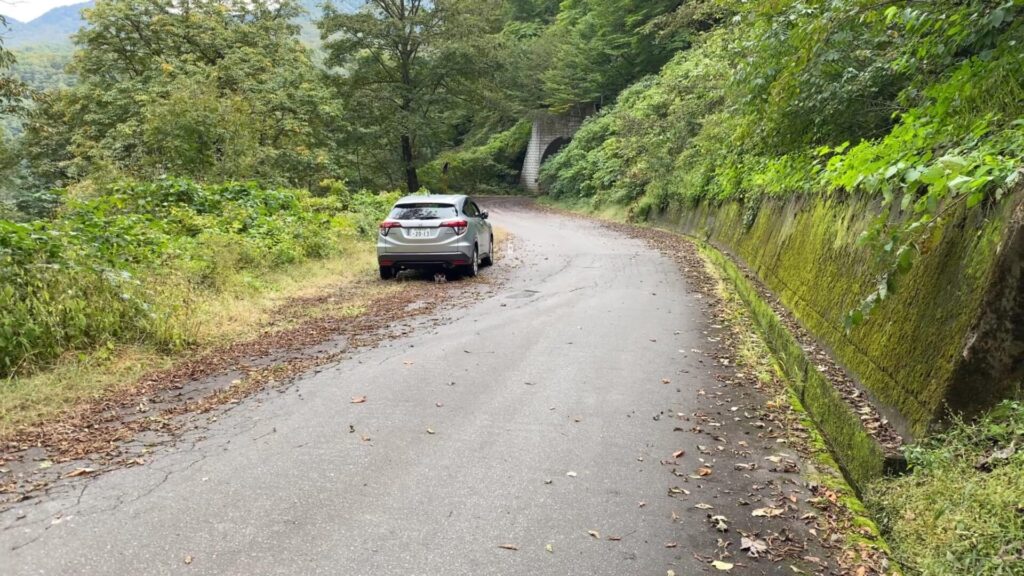
屋敷登山口の近くにある駐車スペースを通過。
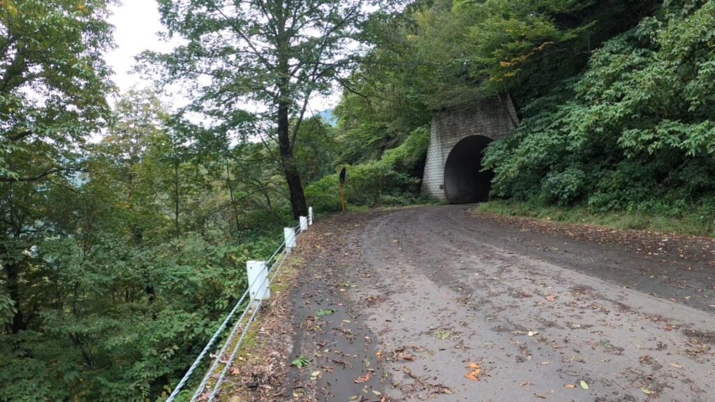
トンネルの先にも駐車スペースがあります。

案内標識によると屋敷登山口から200メートルくらいの位置。
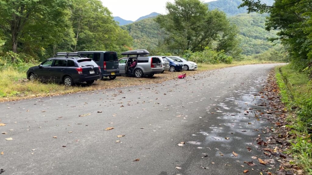
屋敷登山口から少し遠くなってしまいますが、こちらの方が多くの車を駐車可能です。
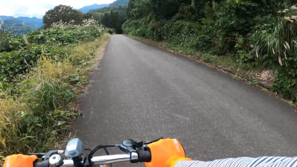
自転車で楽々戻れると思っていたのですが、そんなことはありませんでした。確かに下り道は予想通り快適です。一方で上り勾配の道はペダルをこぐことがキツく、自転車を降りて歩くことになりました。

最後まで読んでいただきありがとうございました。