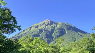
角田山は新潟県の下越地方にある里山で標高は481.7メートル。多くの登山コースがあり、海の近くに位置することも特徴のひとつです。年間を通じて多くの人々が訪れ、春の雪割草が咲く時期は特に賑わいます。
灯台コース往復で春の角田山に日帰り登山した様子を記していきます。
↓ YouTubeにも動画を上げています。動画も見てもらえると雰囲気がイメージしやすいので、よかったらどうぞ。
ルート概要
【コースタイム目安】
登り
- 角田岬灯台から灯台コースを通って角田山へ(2時間00分)
- 角田山から稲島コースを通って観音堂の展望広場へ(5分)
下り
- 観音堂の展望広場から稲島コースを通って角田山へ(5分)
- 角田山から灯台コースを通って角田岬灯台へ(1時間30分)
灯台コース往復の場合、余裕があれば稲島コースにある観音堂の展望広場に行ってみることをオススメします。越後平野の展望が良いです。
【日 程】
2022年4月19日(火曜日)
角田山の山行記録
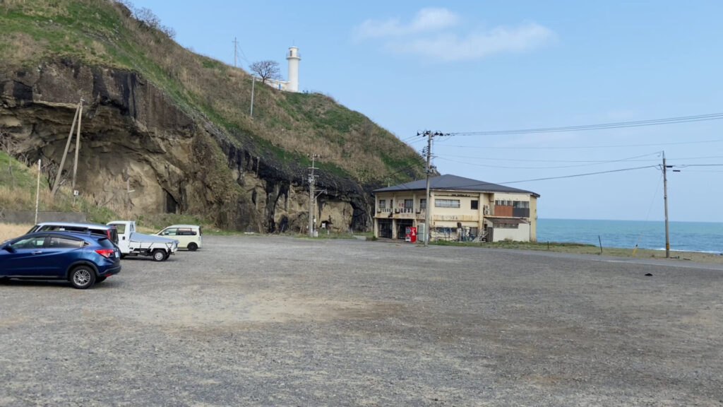
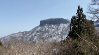
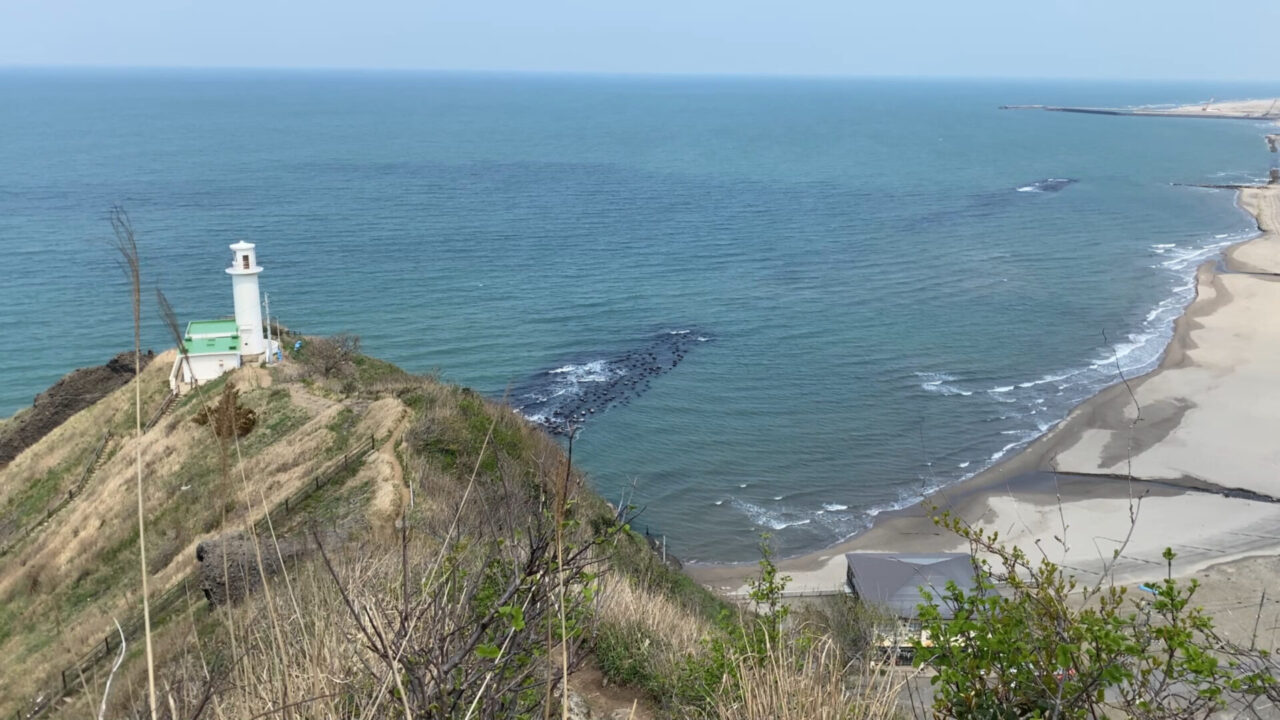
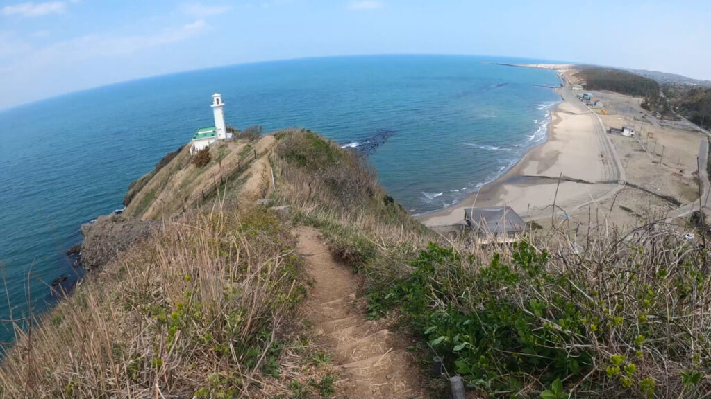
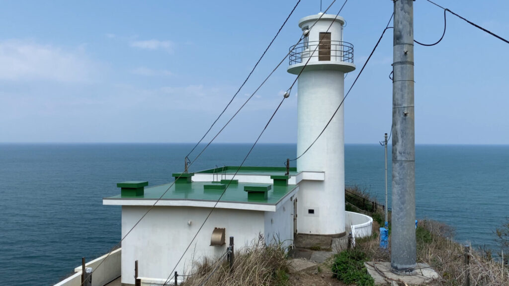
朝8時20分、角田浜の駐車場。白い角田岬灯台が見えます。
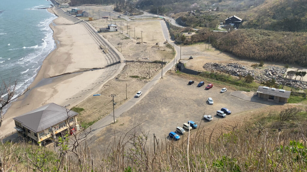
駐車場を高い位置から見るとこんな感じ。(下山時に登山道から撮影)
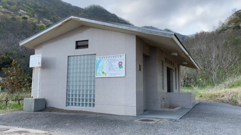
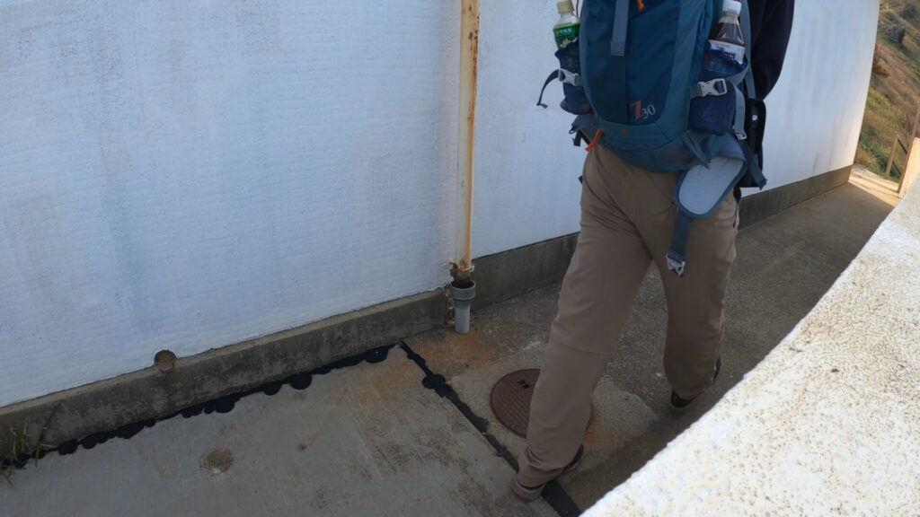
駐車場には公衆トイレもあります。
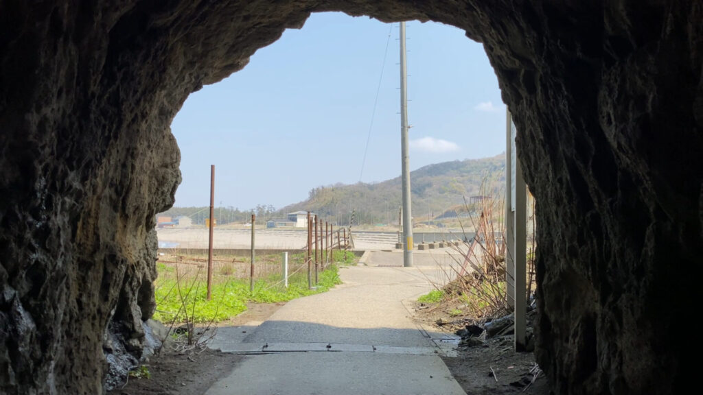
駐車場から角田岬灯台の方へ進む。
灯台コースの始まり。
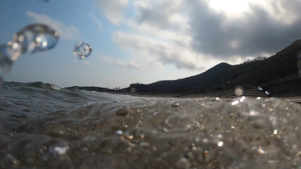
海抜0メートルからのスタートです。
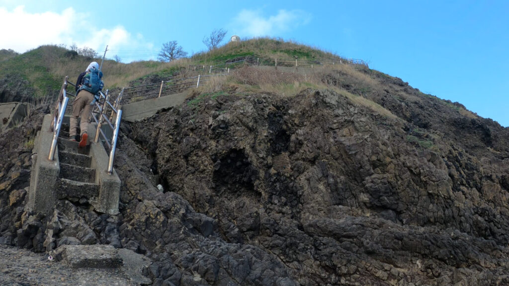
海を後ろに眺めつつ、なかなかの急階段を進む。
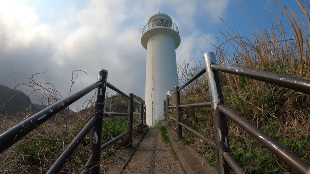
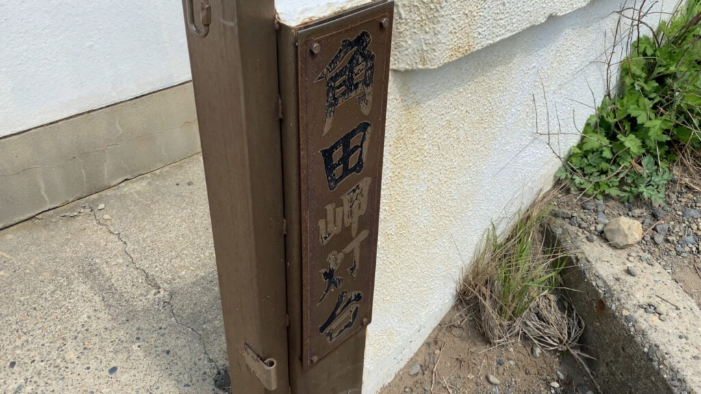
階段を進むと角田岬灯台の足元にたどり着きます。
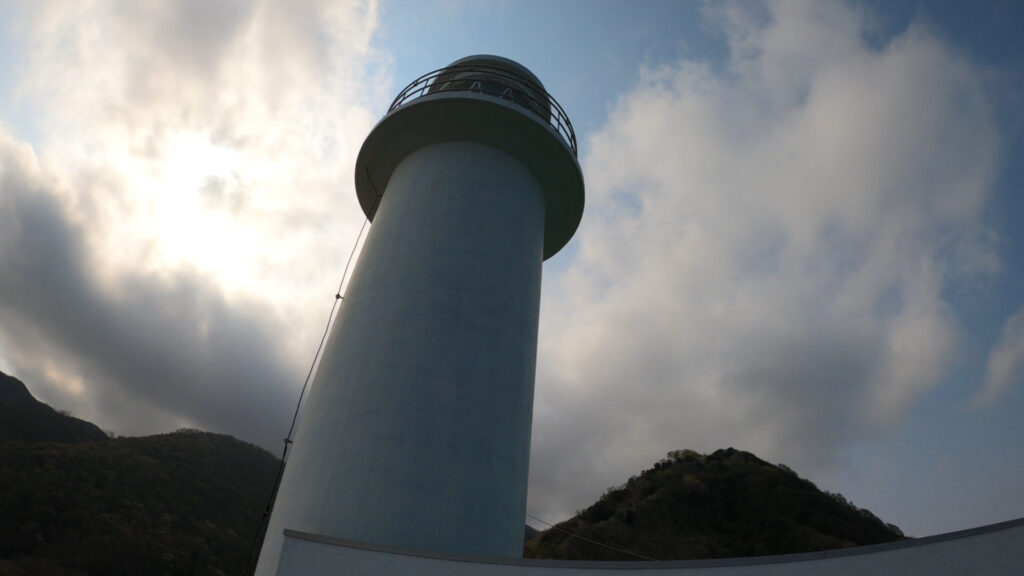
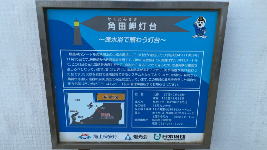
案内板によると角田岬灯台の完成は昭和34年。
灯台の施設脇を通り抜け、本格的な登山道へ入ります。
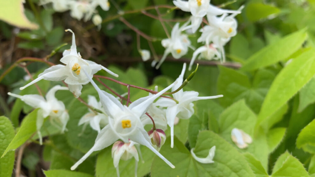
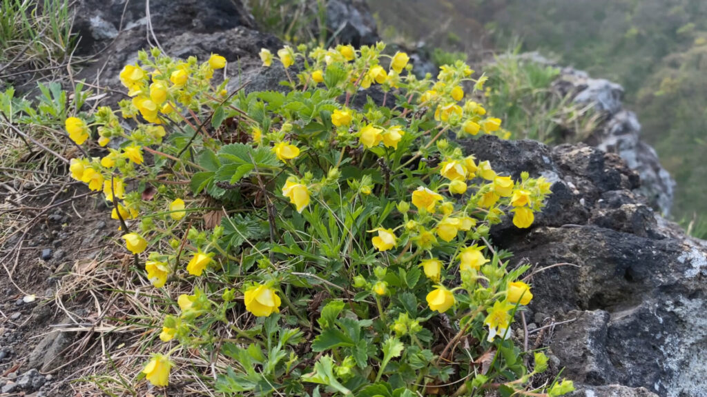
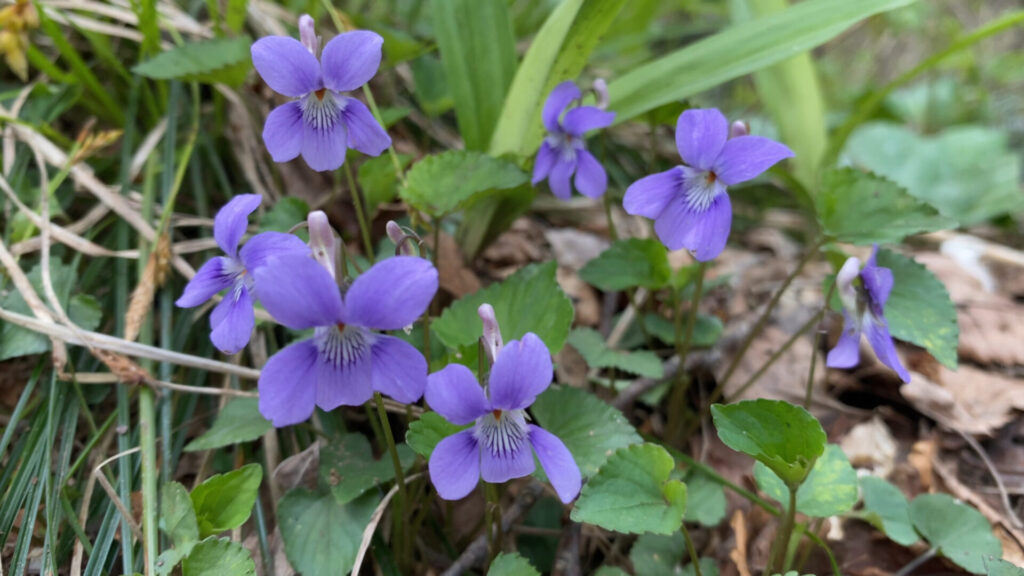
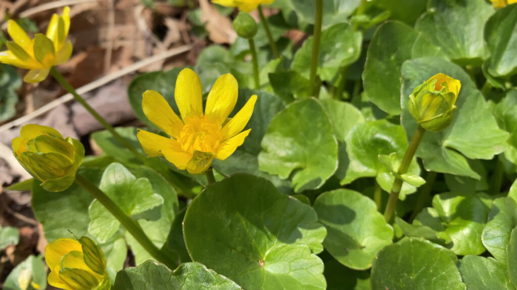
イカリソウ
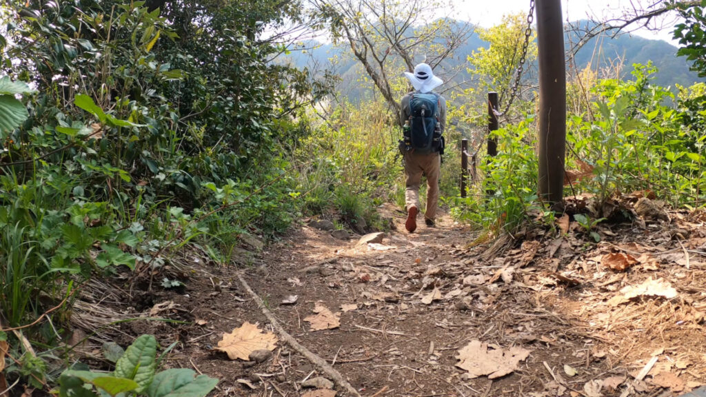
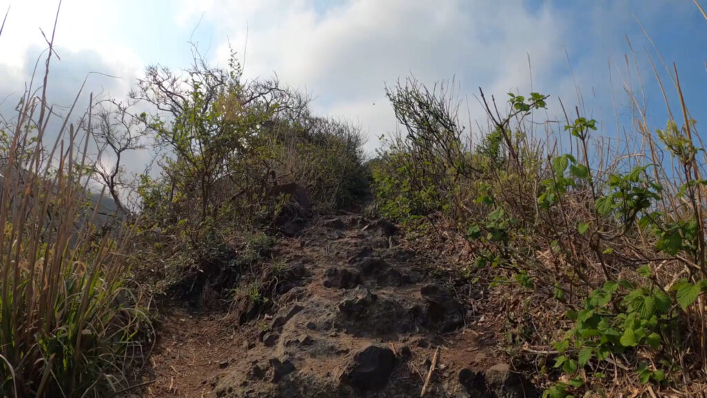
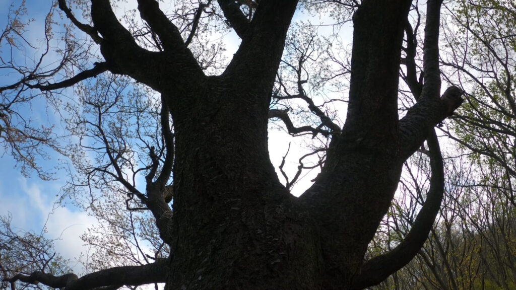
登山道はアップダウンありです。
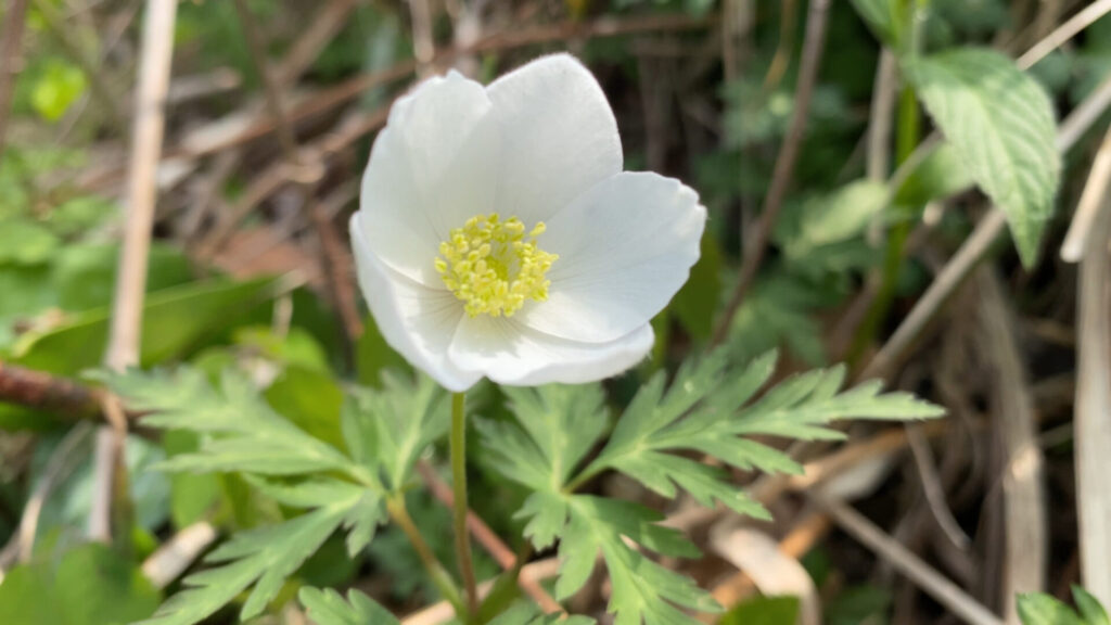
イチリンソウ
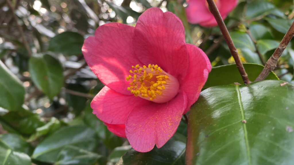
ツバキ
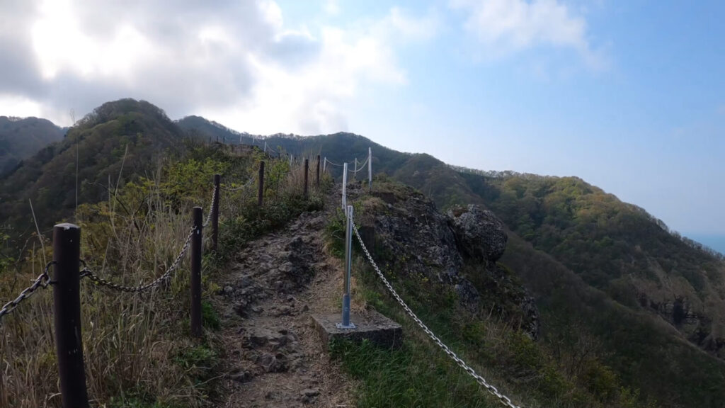
岩場の尾根歩き。
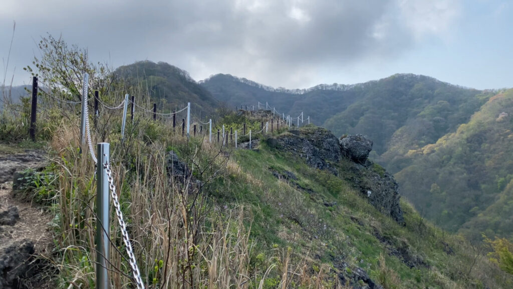
危険個所のため、両側に柵が設けられています。
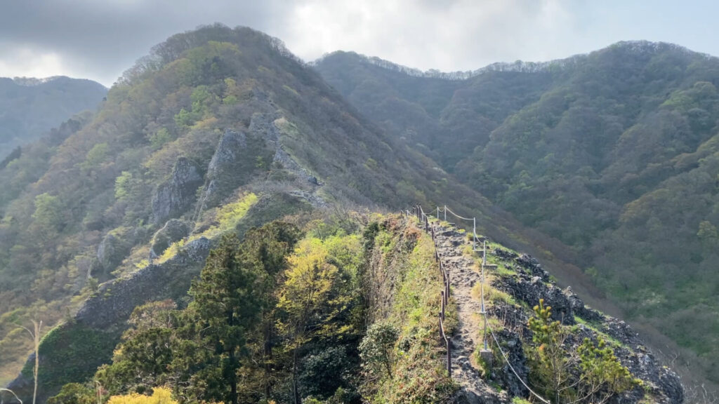
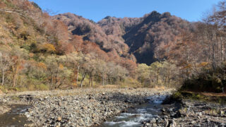
この景色だけ見ると、里山っぽくない感じがします。
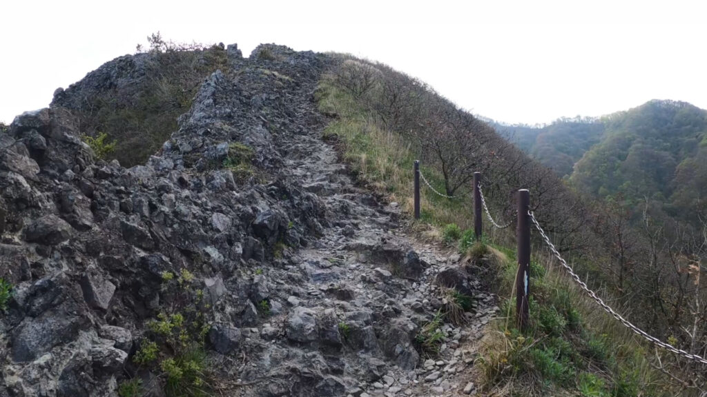
岩場が続きますが、よく整備された登山道です。
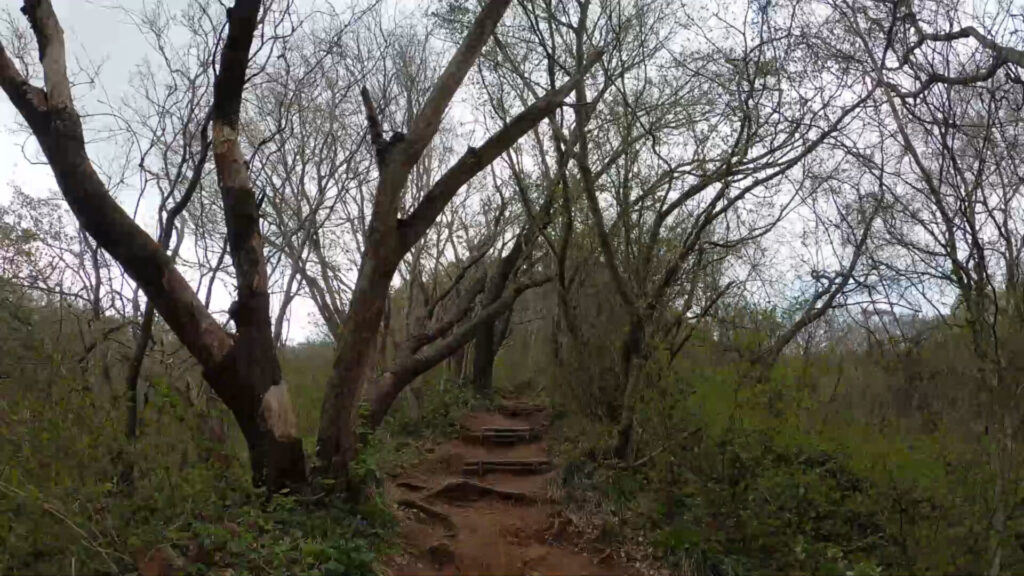
岩場を過ぎれば緩やかな道のりとなります。
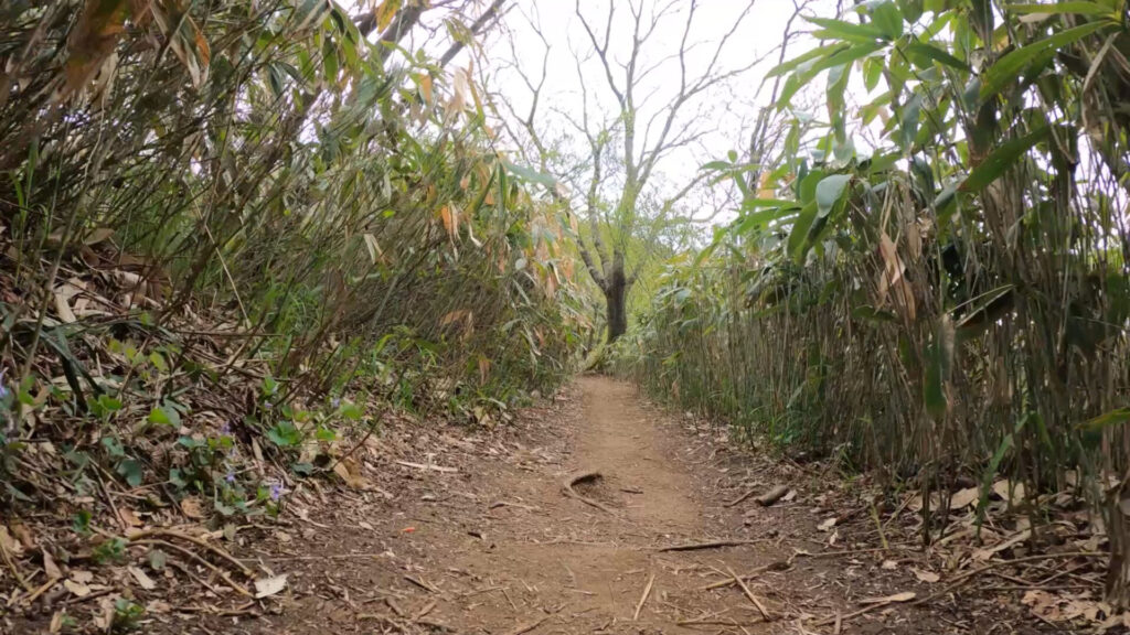
笹やぶ。
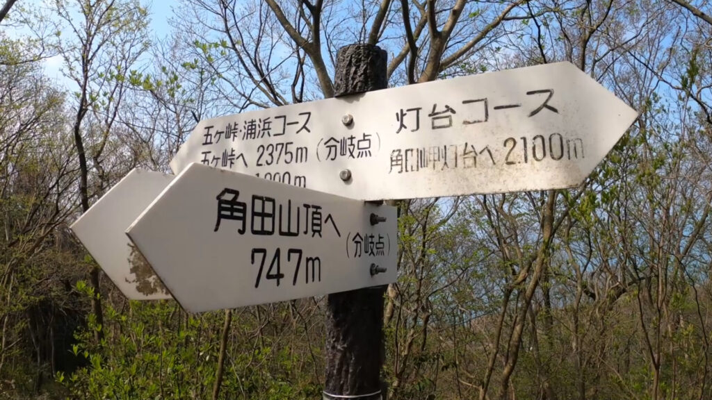
分岐点。角田山頂まで747メートルと具体的です。
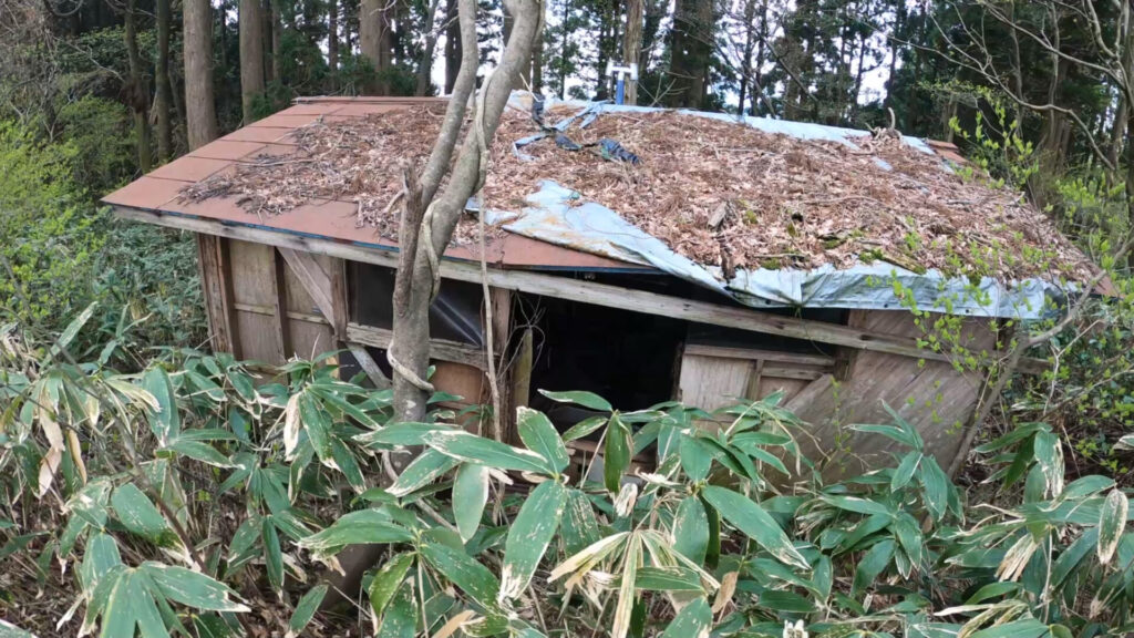
朽ちた三望小屋の脇を通過。
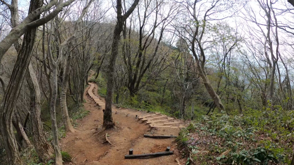
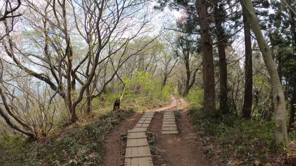
山頂の手前は木道で整備され歩きやすいです。
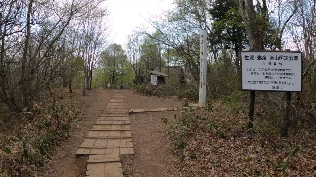
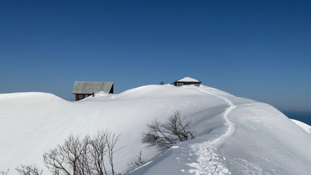
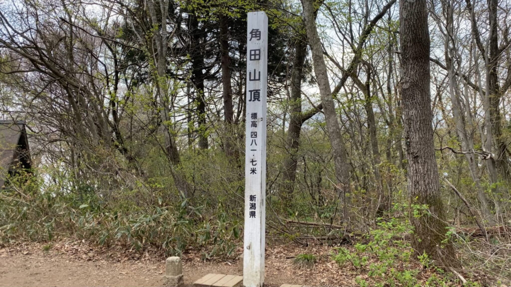
角田山の山頂に到着。
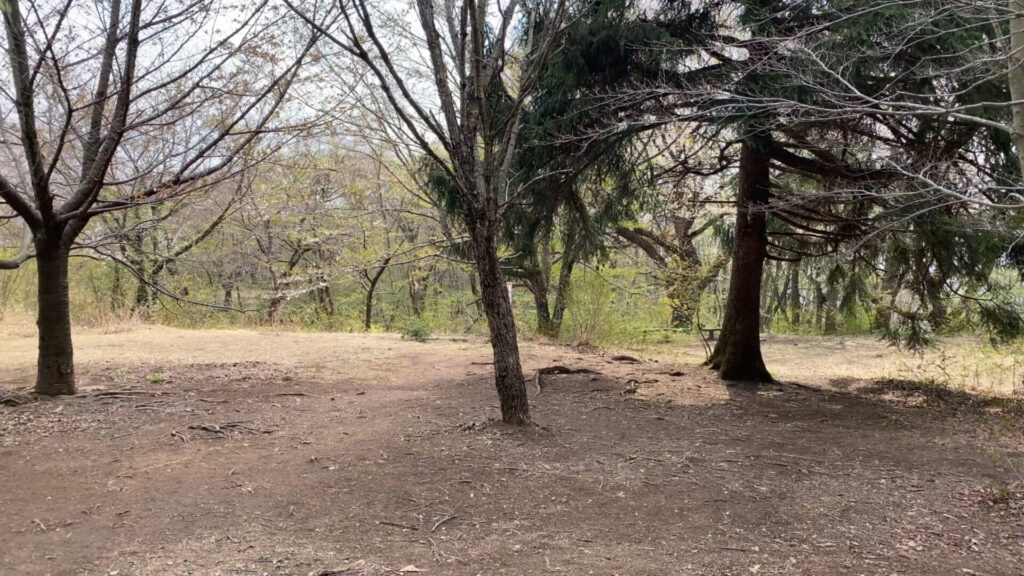
山頂の展望はありませんが広場になっています。
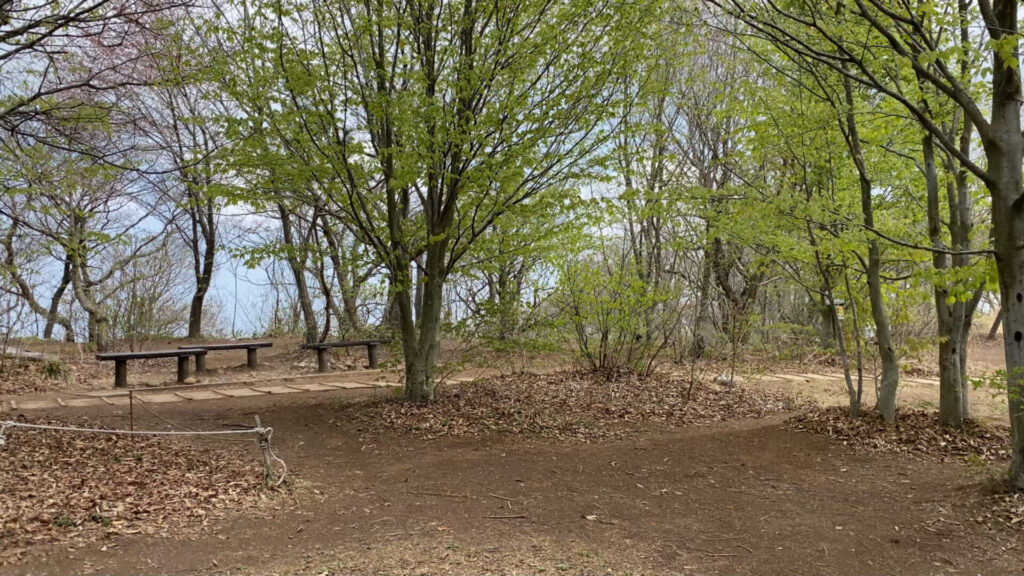
ベンチもあるので、ゆっくり休憩するのもよいです。
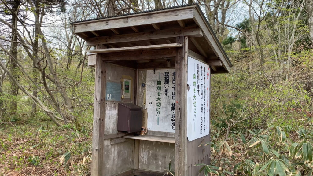
山頂近くの登山届入れ。
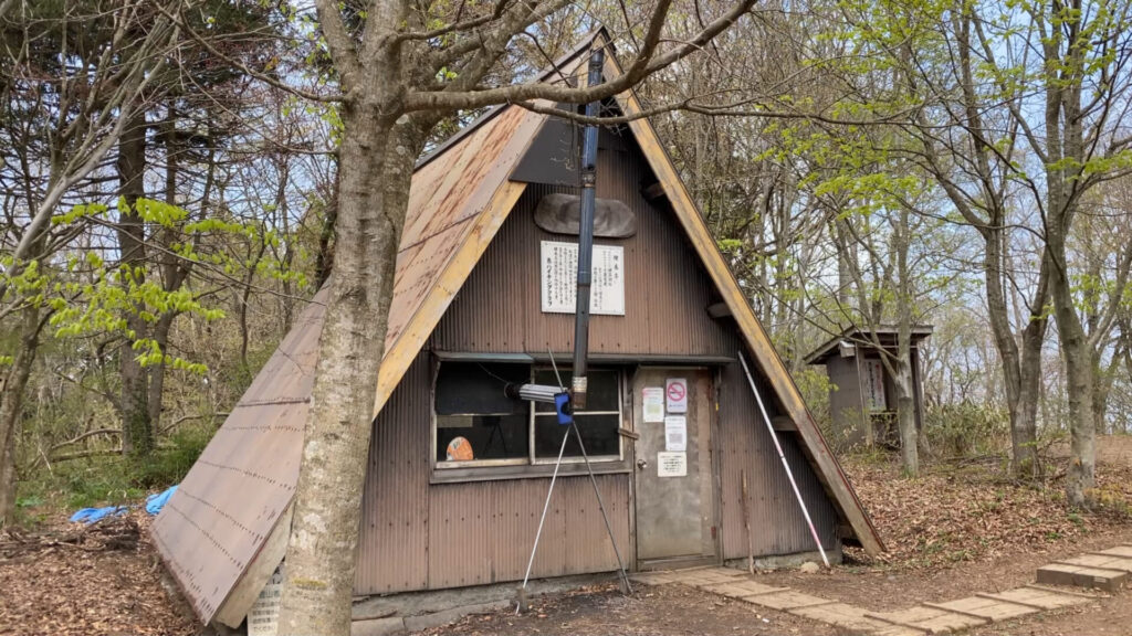
山頂近くの避難小屋。
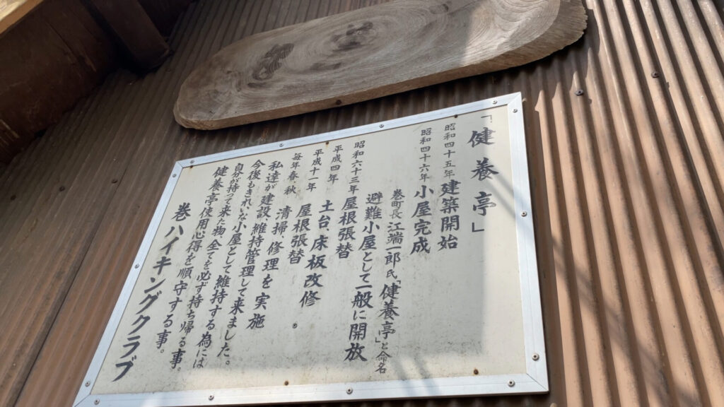
避難小屋の名前は健養亭。
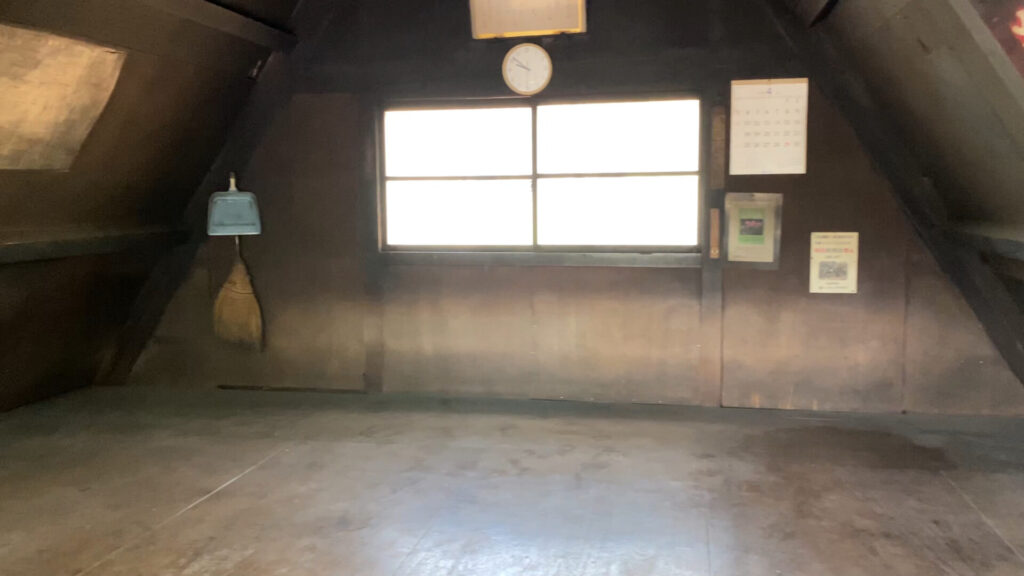
避難小屋の中はこんな感じです。
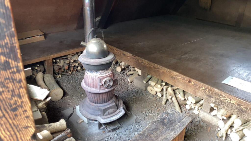
薪を燃やした臭いがしました。
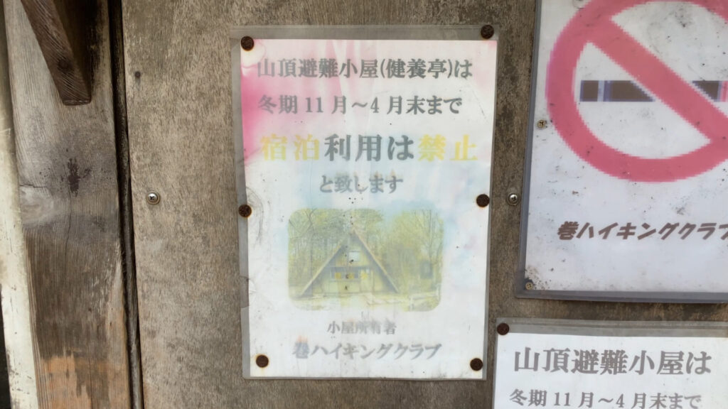
冬季11月~4月末まで宿泊利用は禁止とのこと。
展望を求めて稲島コース上にある観音堂へ寄り道します。9合目にあるので5分ほど歩けば到着するはずです。
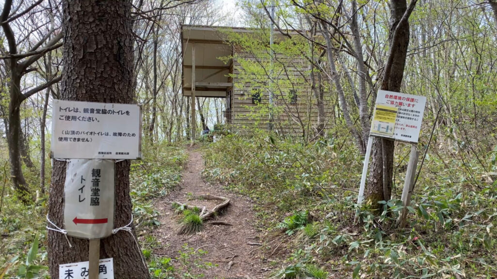
山頂に近いトイレは故障のため使用できません。(2022年4月時点)
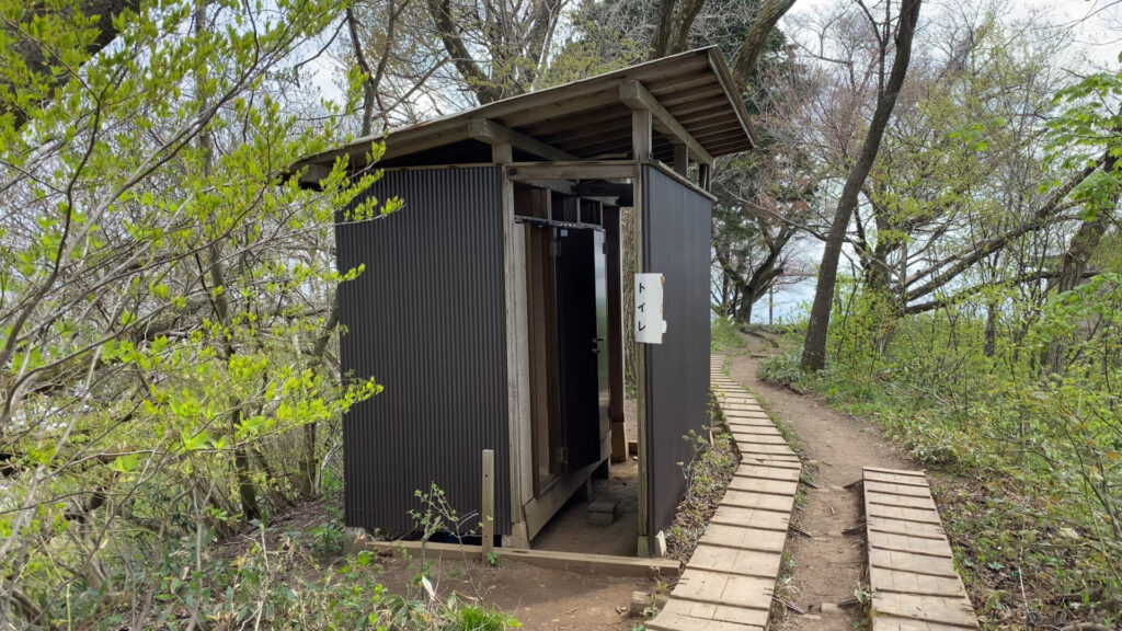
稲島コースの観音堂に近いトイレは使用できました。(2022年4月時点)
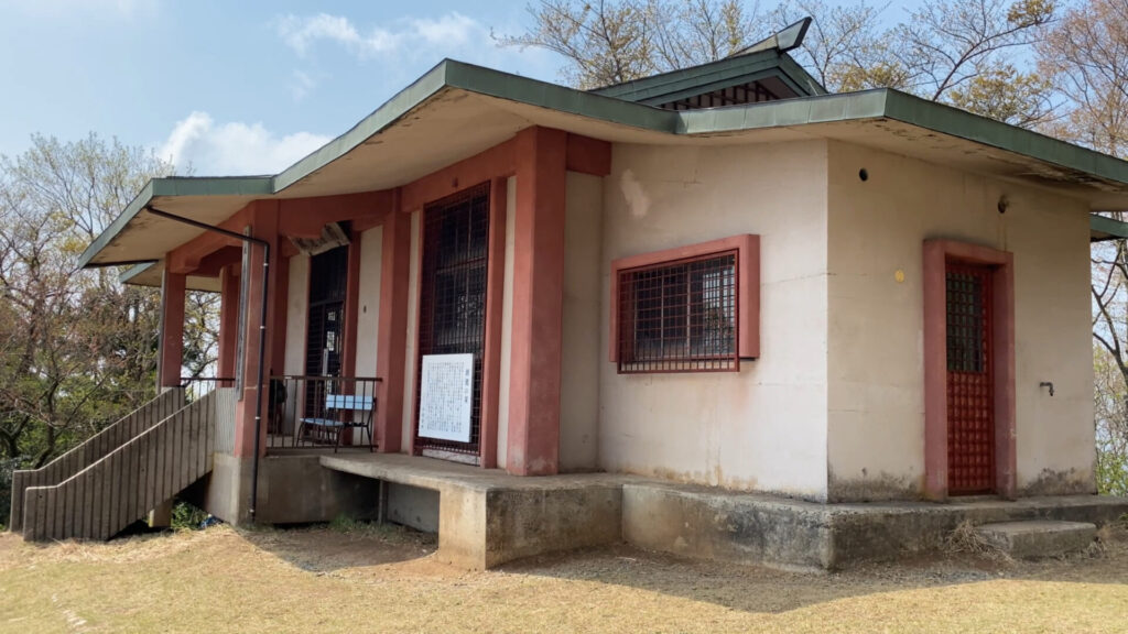
観音堂に到着。
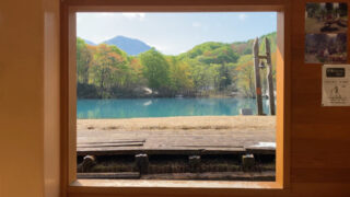
観音堂の前は広場になっているので、この時期の休憩には最適です。真夏は直射日光で暑いかもしれません。
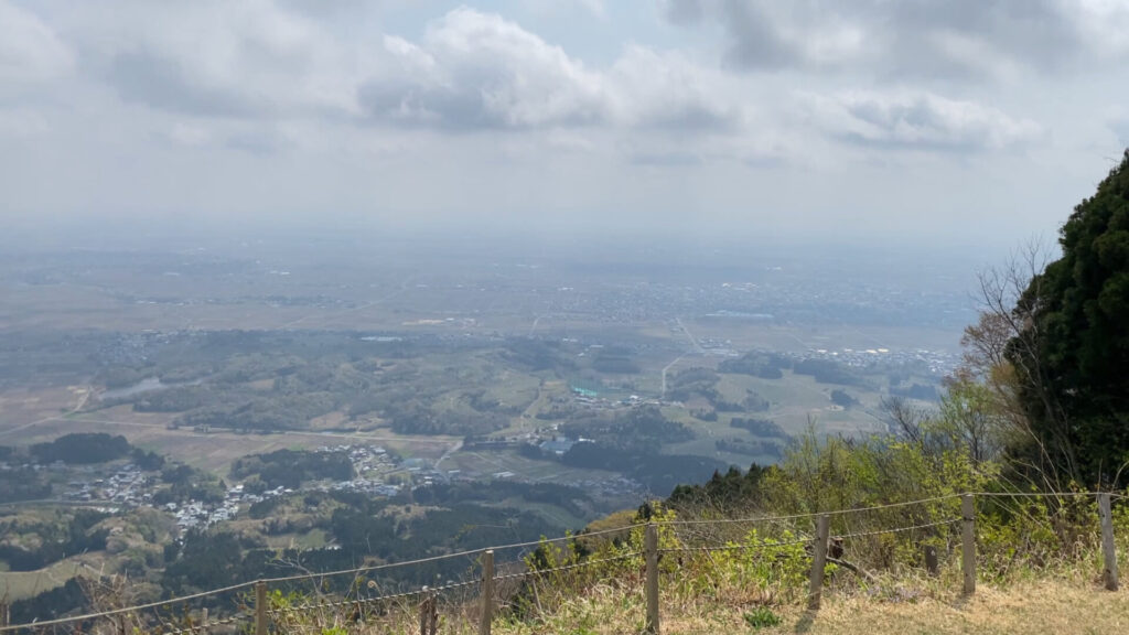
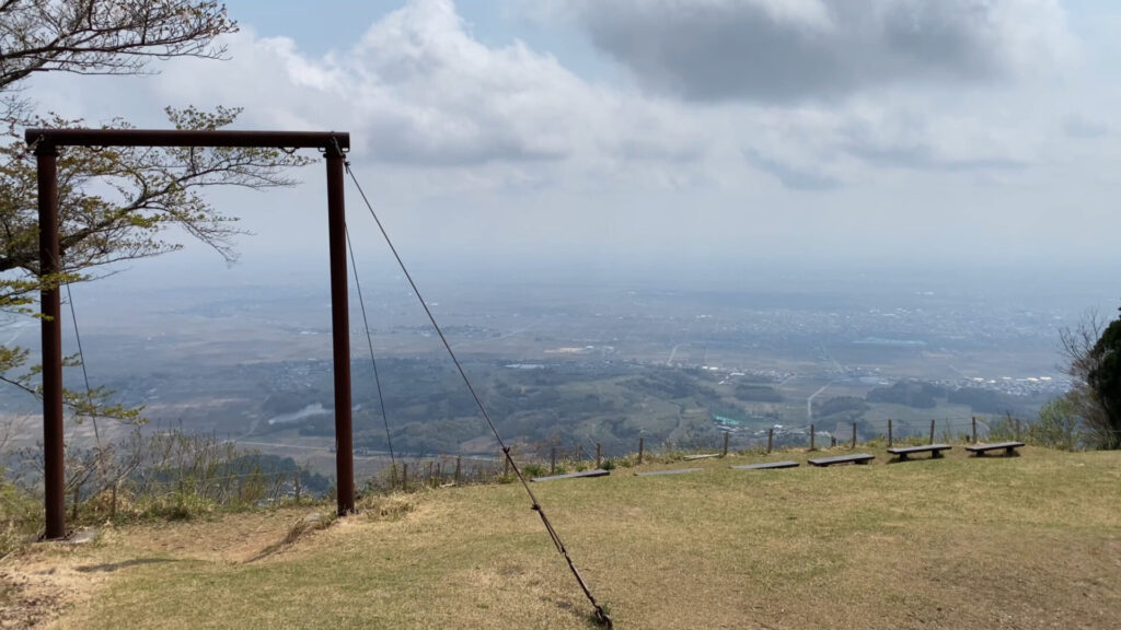
観音堂から越後平野を望む。
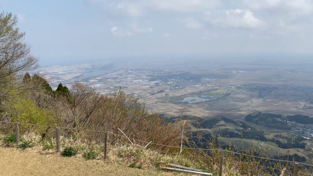
かすんでいますが日本海もなんとか見えました。
観音堂の桜はすでに散ってしまったようです。
来た道を引き返して角田岬灯台まで戻ってきました。
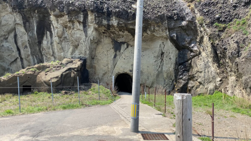
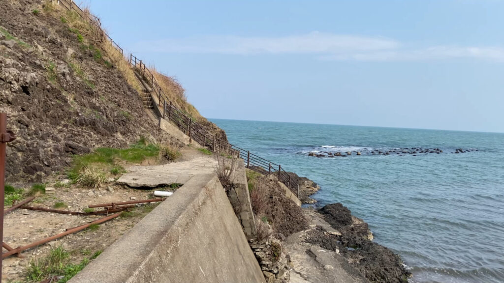
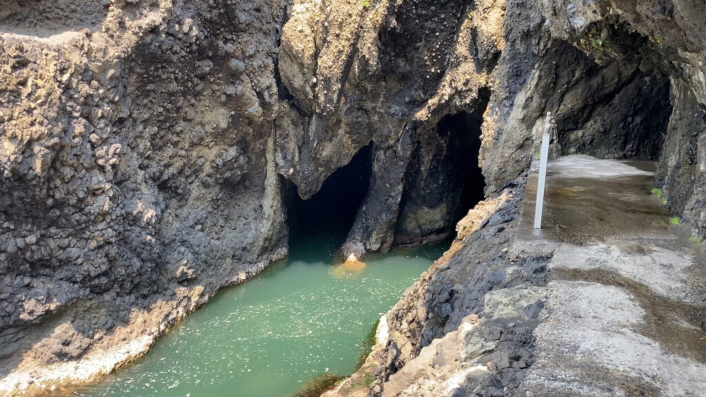
下山後、灯台下の洞穴に寄り道。
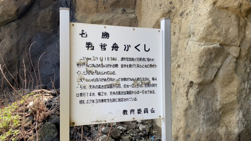
洞穴は判官舟かくしと呼ばれ、源義経に関する言い伝えのある所です。
洞穴に少し入って振り返る。
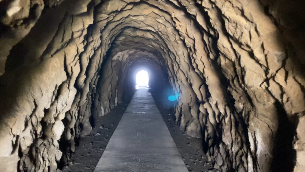
洞穴を進む。夜に歩いたら怖いかも。
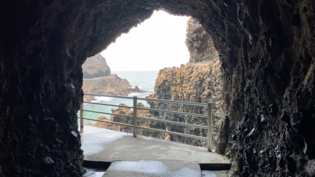
洞穴を抜ける。
岩に彫り込まれたような道が続いています。
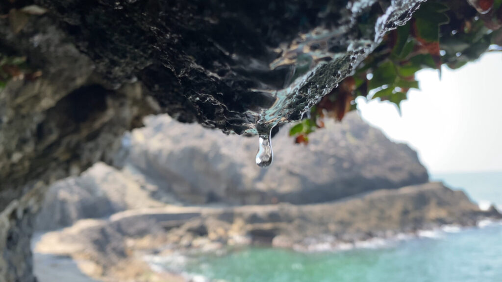
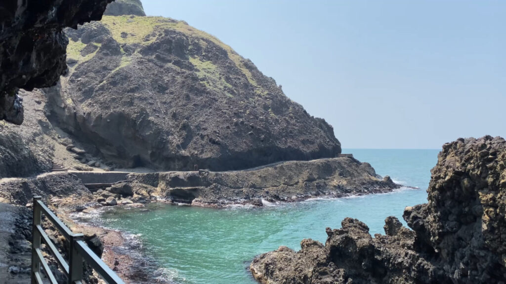
上の岩から滴り落ちる水滴。
独特な雰囲気の岩場です。
最後まで読んでいただきありがとうございました。